Weather
Flash Flood Watch Remains In Effect For Birmingham Area
Heavy rain over the weekend has the National Weather Service maintaining a flash flood watch for most of Alabama through Monday night.

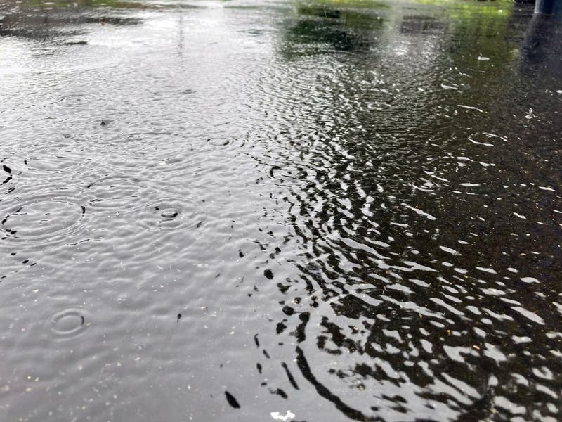
BIRMINGHAM, AL — Heavy rain over the last several days in Alabama has prompted a flash flood watch for central and north Alabama through Monday night into Tuesday. Because more rain is expected Monday and Tuesday, ground conditions are conducive to flooding.
"Look for occasional showers and a few thunderstorms through Tuesday night, with heavier rain totals over north Alabama," meteorologist James Spann said Monday morning. "The ground is saturated, so a few flooding problems could develop as the showers will be very efficient rain producers. Additional rain amounts of 1-2 inches are possible in the flash flood watch area over the next 48 hours."
The flash flood watch area includes all of northern Alabama and Bibb, Blount, Chilton, Coosa, Jefferson, Shelby, St. Clair, Talladega and Walker counties in central Alabama.
Find out what's happening in Birminghamwith free, real-time updates from Patch.
Spann said a cold front will push through Alabama early in the day Wednesday as the rain moves out of the area.
"Showers will end by mid-morning and the sky becomes partly sunny by afternoon with a fresh north breeze and lowering humidity," Spann said. "We expect picture-perfect fall weather Thursday through the weekend with sunny, pleasant days and clear, cool nights."
Find out what's happening in Birminghamwith free, real-time updates from Patch.
Get more local news delivered straight to your inbox. Sign up for free Patch newsletters and alerts.