Weather
Snow In Alabama: Parts Of State Could See Up To 2 Inches
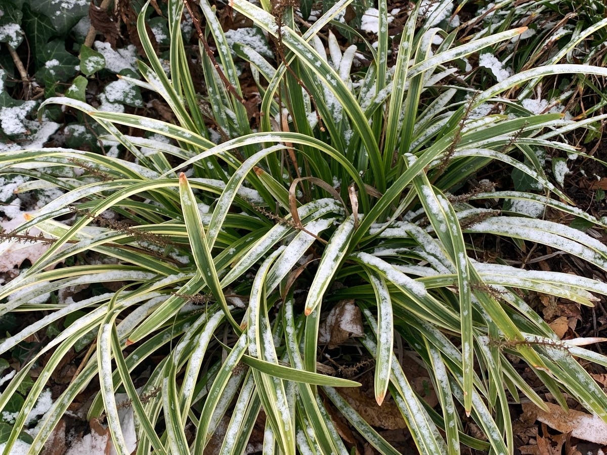
Alabamians could see up to an inch of snow this weekend, as temperatures fall into the 20s Friday night.

BIRMINGHAM, AL — Although the first day of spring is just days away, temperatures in the Birmingham metro are expected to fall into the 20s this weekend with snow forecast for much of the north and central parts of the state.
Storms Friday across south Alabama could produce strong winds, and a few tornadoes are possible, according to the National Weather Service in Birmingham, although severe storms are not expected over the northern half of the state at this point.
Meteorologist James Spann said Friday night and Saturday are supposed to bring a burst of winter weather to the area after a warm Thursday and Friday afternoon.
Find out what's happening in Birminghamwith free, real-time updates from Patch.
"Cold rushes in from the north after midnight Friday night, and the rain will change to snow across much of north Alabama," Spann said. "The latest guidance suggests snow amounts of 1-2 inches are possible over the northwest corner of the state around Florence and Muscle Shoals; elsewhere amounts should be less than 1 inch in areas north of I-20. The snow will accumulate on grassy areas, and amounts will be limited by warm soil temperatures."
Spann said temperatures early Saturday will drop into the 28- to 34-degree range, and there could be a few isolated slick spots on bridges across the Tennessee Valley of north Alabama. No travel impact is expected at this point for the I-20 corridor, which includes Tuscaloosa, Birmingham and Anniston.
Find out what's happening in Birminghamwith free, real-time updates from Patch.
"The sky will clear Saturday afternoon, but temperatures won’t get out of the 30s over the northern third of Alabama with wind chill indices hovering around the freezing mark all day," Spann said. "A very significant late-season freeze is likely by early Sunday morning with a clear sky and light wind. Freezing temperatures are likely all the way down to the Gulf Coast, and the range for north and central Alabama will be from 18 to 25 degrees."
Get more local news delivered straight to your inbox. Sign up for free Patch newsletters and alerts.