Home & Garden
'Accumulating Snow' Possible for Ledyard on Friday
A surprise minor storm is now expected for the area and we'll let you how much snow is predicted to accumulate and when it will end.

Written by BRIAN MCCREADY (Patch Staff)
This kinda came out of nowhere as we’ve been basking in 50 degree weather the past few days, but accumulating snow is now forecast for much of Connecticut from about 3 a.m. to 9 a.m. Friday.
The only county likely to be left out of the accumulating snow is Fairfield County, which may see some snowflakes but no accumulation is expected.
Find out what's happening in Ledyardwith free, real-time updates from Patch.
This very light snowstorm is all about how far east you live in the state.
NBC Connecticut and Fox 61 are both predicting 1-3 inches of snow accumulation is possible for New Haven County, Middlesex and Hartford and Tolland counties. A Hazardous Weather Outlook has been issued for Hartford and Tolland counties for possible snow accumulation, but the confidence is still low, the National Weather Service states.
Find out what's happening in Ledyardwith free, real-time updates from Patch.
The big winner is forecast to be New London County, which could receive between 3-5 quick inches of snow by late Friday morning.
However, the meteorologists caution the forecast is a tricky one and very likely to change. For example, no snow was expected to accumulate yesterday in Connecticut for Friday morning.
NBC Connecticut Meteorologist Ryan Hanrahan wrote this morning on his blog, “A pretty impressive jump west on all of our computer guidance last night indicates many areas in Connecticut will see accumulating snow tomorrow morning.”
WTNH News 8 Meteorologist Gil Simmons wrote on social media Thursday morning that the snow won’t add up to a lot in most places but its timing for the morning commute could pose problems.
“Good morning everyone! It will be like Spring all day long today (Thursday.) The rain ends around 9 to 10 AM this morning. Expect some brightening but a lot of clouds in the afternoon with temperatures in the 50s. It all changes Friday morning. It looks like snow that will accumulate especially New Haven points east and east of Hartford out through the Rhode Island line,” Simmons wrote.
And then all eyes shift to Monday night and into Tuesday where snow is forecast to fall Monday night into Tuesday and even into Tuesday night. Mixing at the immediate Connecticut coastline is currently forecast, but we’ll have more on that snow chance later.
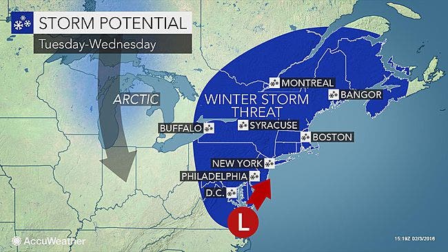
Photo credit: AccuWeather.com
Click here to sign up for Patch’s free Daily Newsletter and Real Time News Alerts.
Get more local news delivered straight to your inbox. Sign up for free Patch newsletters and alerts.