Home & Garden
Winter Storm Warning Issued for Ledyard
We'll let you know when the worst of the storm is expected today and more accumulating snow is on the way Tuesday and Wednesday.

By Brian McCready
It must be something with the Super Bowl. Just like last year, Connecticut is being hit with a major winter storm the day after the Super Bowl.
A storm that was initially thought would just be a nuisance has now been upgraded to a major winter storm on Monday morning.
The National Weather Service has upgraded most of Connecticut to a “Winter Storm Warning” early Monday.
New Haven, Middlesex, New London, Hartford and Tolland counties are all under a “Winter Storm Warning,” while Fairfield County remains under a “Winter Weather Advisory.”
Here is the latest information on the storm via the National Weather Service:
New Haven/Middlesex/New London counties: Winter Storm Warning is in effect until 6 p.m. for heavy snow and wind. Snow will accumulate 5 to 9 inches. Winds will gust up to 35 mph. Temps won’t hit 30 degrees.
“Snow will be heavy at times this morning into the early afternoon...then gradually taper off late this afternoon,” the weather service writes.
Fairfield County: Winter Weather Advisory remains in effect until 6 p.m. Snow will accumulate 3 to 6 inches and winds will gust up to 30 mph. Temps will be around 30 degrees.
“Hazardous travel conditions due to snow covered roads,” the weather service writes.
Hartford/Tolland counties: A Winter Storm Warning is in effect until 7 a.m. Tuesday. Heavy snow will accumulate 4 to 8 inches. Snow overspreads the area from south to north between 6 a.m. and 9 a.m. and will be heavy at times through mid afternoon before diminishing in intensity by early evening.
Winds will also gust up to 35 mph and temps will be in the mid 20s.
More Accumulating Snow This Week
Hartford and Tolland counties could see more accumulating snow on Tuesday and Wednesday, and currently up to 2 inches is predicted there on Tuesday.
Fairfield/New Haven/Middletown/New London counties: Another 2-3 inches of snow is likely on Tuesday and into early Wednesday. The heaviest snow is expected Tuesday night.
More snow is also possible for Connecticut on Thursday, too.
If you’re looking for some good news, the weekend looks dry, but the coldest temps of the year as temps will be stuck near 20 as a daytime high.
Winter was late in arriving, but it’s clearly trying to make up for lost time.
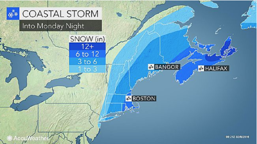
Photo credit: AccuWeather.com.
Get more local news delivered straight to your inbox. Sign up for free Patch newsletters and alerts.