Weather
Hazardous Weather Outlook Issued For Ridgefield As Jose Nears
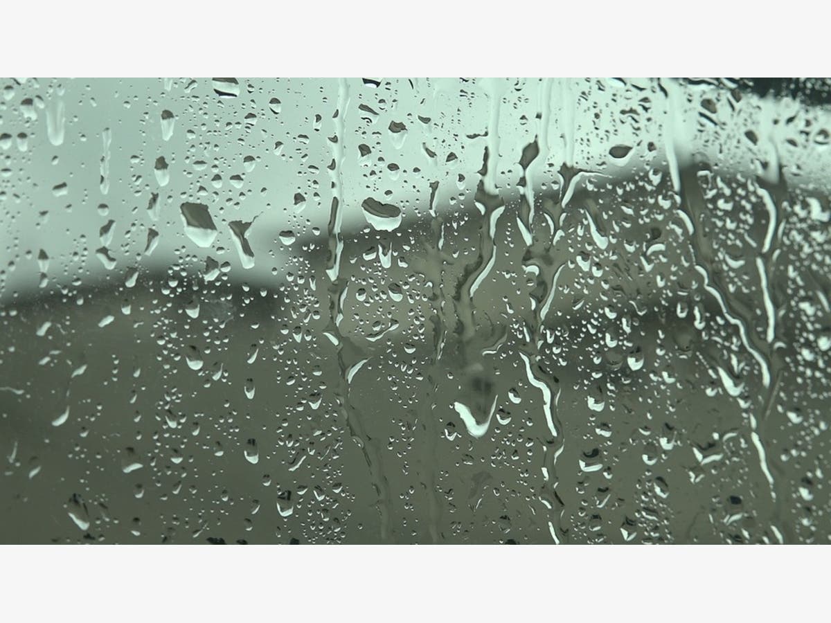
The latest hyperlocal forecast for how Jose will impact parts of Connecticut.

RIDGEFIELD, CT — While it appears we will not face the brunt of Tropical Storm Jose, the National Weather Service has issued a Hazardous Weather Outlook for the area. The National Weather Service said Monday that Jose will pass to the southeast of Connecticut late Tuesday night into Wednesday. For coastal areas of the state “potential impacts of tropical storm force winds, coastal flooding, and heavy rainfall” are expected.
“The best chance for tropical storm force winds and heavy rain will be across eastern Long Island and southeast Connecticut. Minor to moderate coastal flooding is also expected, with widespread water levels of 1 to 2 feet and locally up to 3 feet above ground level possible,” the weather service states.
Interior sections of southern Connecticut are also expected to see gusty winds and between 1-2 inches of rain late Tuesday into Wednesday. The weather service adds that tropical storm conditions are possible there too.
Find out what's happening in Ridgefieldwith free, real-time updates from Patch.
Here's a look at Ridgefield's forecast for Tuesday and Wednesday, courtesy of the National Weather Service:
- Tuesday: Showers likely. Cloudy, with a high near 70. Northeast wind 10 to 15 mph. Chance of precipitation is 60%. New precipitation amounts between a quarter and half of an inch possible.
- Tuesday Night: A 50 percent chance of showers. Cloudy, with a steady temperature around 67. Breezy, with a north wind 17 to 21 mph.
- Wednesday: A 40 percent chance of showers. Mostly cloudy, with a high near 74. Breezy, with a north wind 17 to 22 mph.
Image via Pixabay
Find out what's happening in Ridgefieldwith free, real-time updates from Patch.
Get more local news delivered straight to your inbox. Sign up for free Patch newsletters and alerts.