Community Corner
Picture South Windsor - Then And Now
An old photo and brief story from South Windsor's past, and how that site appears today.

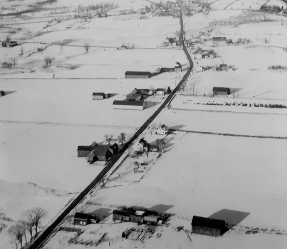
SOUTH WINDSOR, CT — Today we re-visit an old throwback photo we first published in 2020. It comes from the pages of a wonderful picture book called Images of America: South Windsor, compiled in 2017 by Claire Lobdell for the Wood Memorial Library & Museum. The book, containing 128 pages of fascinating photos from the town's history, is available for purchase at the library's museum store here.
This edition takes us back more than eight decades to 1940, and an aerial view of Buckland Road long before commercial development took over the terrain. At the very top of the photo is Wapping's Five Corners, and numerous farms dotted the landscape going up the hill toward Manchester.
As evidenced by the image below from Google Earth, the district is primarily businesses in 2024, including the expansive Evergreen Walk shopping center.
Find out what's happening in South Windsorwith free, real-time updates from Patch.

Get more local news delivered straight to your inbox. Sign up for free Patch newsletters and alerts.