Weather
Wintry Mix, Slick Roads, Wind Chill In Teens Expected For Georgia
A winter weather advisory has been issued for north Georgia as a cold front comes through Thursday night. Wind chill will be in the teens.

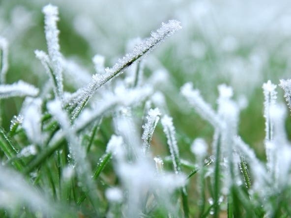
GEORGIA — A winter weather advisory is in effect for far north Georgia through Thursday evening, where widespread rain could turn to a wintry mix of snow and sleet, with a chance for patchy light freezing rain.
The National Weather Service said that minor snow accumulations below half an inch are forecast with little to no icing accumulation. The highest totals are expected in the higher elevations if accumulations occur.
Roads may be slippery at times, especially as temperatures fall after sundown, so use caution while driving.
Find out what's happening in Cummingwith free, real-time updates from Patch.
A pair of Winter Weather Advisories are in effect for far north GA beginning tomorrow morning. ☃️ In addition to the potential for a wintry mix (& slick roads!) for areas shaded in purple, wind chills will drop into the single digits Fri AM. 🥶 Bundle up & drive carefully! #gawx pic.twitter.com/irxxSarGsb
— NWS Atlanta (@NWSAtlanta) January 6, 2022
A strong cold front will bring cold and windy conditions to much of north Georgia Thursday night into Friday morning. Northwest winds of 10 to 15 mph with gusts up to 25 mph Thursday evening will gradually decrease overnight.
However, with the cold, sub-freezing temperatures, wind chill values will fall into the teens across north Georgia with readings in the single digits in the mountains.
Find out what's happening in Cummingwith free, real-time updates from Patch.
Limit outdoor activities and be sure to dress appropriately if you have to be outdoors for extended periods of time.
🥶🥶 It's gonna be cold by Georgia standards on Friday morning. Very gusty winds will have wind chills in the teens across a wide portion of our area. Bundle up any kids waiting on those buses, and if you work outside, take precautions to limit exposed skin! #gawx pic.twitter.com/AxOThpQDaF
— NWS Atlanta (@NWSAtlanta) January 6, 2022
A cold front with widespread rain showers is expected Sunday and Sunday night, with a slight chance for thunderstorms.
Metro Atlanta Forecast
Thursday
Rain likely, mainly after 5 p.m. Mostly cloudy, with a high near 57. South wind 10 to 15 mph, with gusts as high as 25 mph. Chance of precipitation is 60 percent. New precipitation amounts between a tenth and quarter of an inch possible.
Thursday night
A 30 percent chance of rain, mainly before 7 p.m. Mostly cloudy, with a low around 24. Northwest wind 10 to 15 mph, with gusts as high as 25 mph.
Friday
Sunny, with a high near 39. Northwest wind around 10 mph, with gusts as high as 15 mph.
Friday night
Mostly clear, with a low around 28. Northwest wind around 5 mph becoming east after midnight.
Saturday
Sunny, with a high near 49. East wind around 10 mph, with gusts as high as 15 mph.
Saturday night
Partly cloudy, with a low around 38.
Sunday
Showers and possibly a thunderstorm. High near 58. Chance of precipitation is 80 percent.
Sunday night
Showers likely. Cloudy, with a low around 37. Chance of precipitation is 70 percent.
Monday
Mostly sunny, with a high near 48.
Monday night
Mostly clear, with a low around 27.
Tuesday
Sunny, with a high near 45.
Tuesday night
Mostly clear, with a low around 27.
Wednesday
Mostly sunny, with a high near 50.
Get more local news delivered straight to your inbox. Sign up for free Patch newsletters and alerts.