Weather
Winter Weather Advisory In 11 NJ Counties As Storm Threat Reduced
Forecasters have reduced expectations for a storm system that's arrived in New Jersey. Here's what to expect.

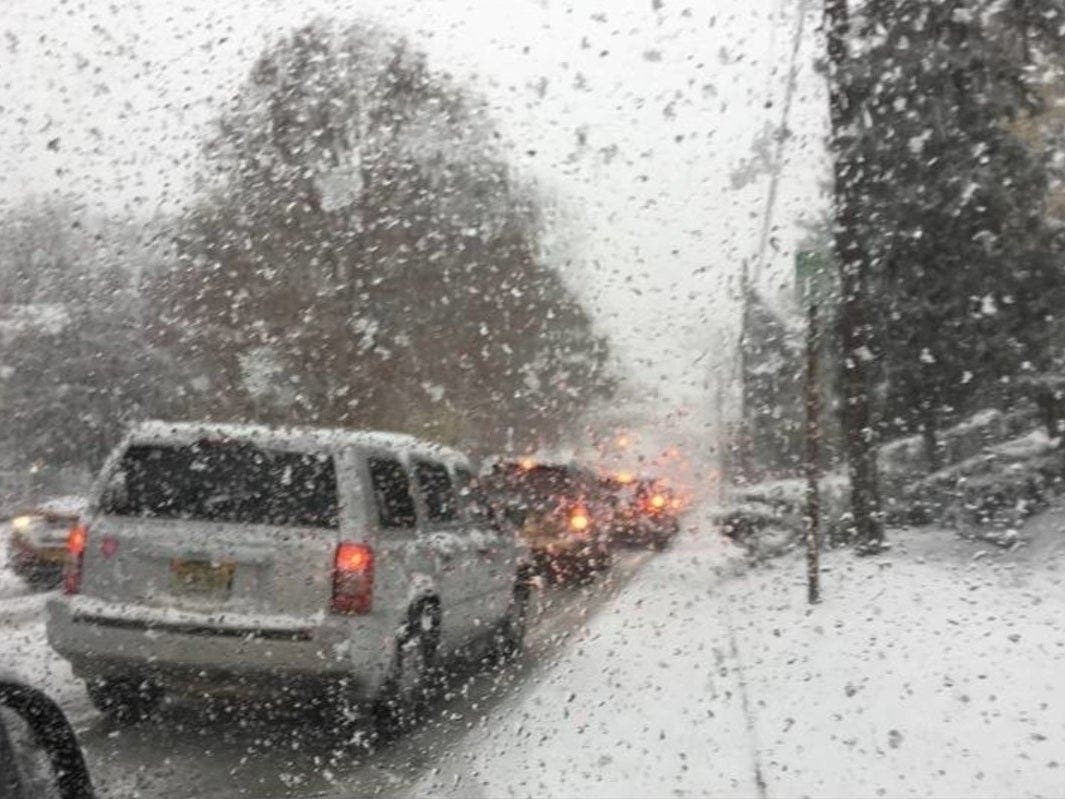
NEW JERSEY – Forecasters have reduced expectations for a storm system that's arrived in New Jersey and is dumping snow in some parts of the Garden State. The weather was already having an impact on roadways on Tuesday (see list of incidents below).
The National Weather Service has issued a winter weather advisory in 11 New Jersey counties, saying winter weather could present problems for the afternoon commute.
The advisory was reduced from 17 counties now that the National Weather Service is saying that the storm system is weakening.
Find out what's happening in Princetonwith free, real-time updates from Patch.
Here is what is expected, largely in North and Central Jersey (Jersey Shore and South Jersey are expected to get rain):
- Mixed precipitation. Additional snow accumulations of up to one inch and ice accumulations of around one-tenth-of-an-inch are expected.
- The advisory is in effect until 4 p.m. Tuesday for Central Jersey on 6 a.m. Wednesday for northern counties.
- Plan on slippery road conditions. The hazardous conditions could impact the evening commute once temperatures drop into the 20s.
Here are the alerted areas:
Find out what's happening in Princetonwith free, real-time updates from Patch.

Here are the expected snow totals:
.png)
Col. Patrick Callahan, the superintendent of the State Police, urged people to work remotely because the weather will create problems during the evening commute.
He said the roads were being "brined" because of fears that the wet weather and falling temperatures will cause roads to freeze and become slick during the afternoon commute.
5 AM update: Today's weather system is very weak, but periods of light snow, sleet, freezing rain & rain is expected to develop through this morning. Main areas for some snow & ice accumulations is west of I-95 & especially along & north of I-78. #pawx #njwx #dewx #mdwx pic.twitter.com/xicw9BxNNB
— NWS Mount Holly (@NWS_MountHolly) January 26, 2021
Here are the roads that have been impacted:
- Speed restriction on the New Jersey Turnpike/I-95 all roadways in both directions from south of US 46 in Ridgefield to George Washington Bridge Lower Level in Fort Lee.
- Speed restriction on the New Jersey Turnpike inner and outer roadways in both directions from north of Interchange 7A - I-195 in Robbinsville to North of Interchange 14 - I-78/US 1&9 in Newark.
- Speed restriction on the New Jersey Turnpike - Western Spur in both directions from Southern Mixing Bowl in Newark to Northern Mixing Bowl in Ridgefield.
- Speed restriction on the New Jersey Turnpike - Hudson County Extension in both directions from Interchange 14 - I-78 in Newark to Jersey Ave/Holland Tunnel in Jersey City.
- Speed restriction on the Garden State Parkway in both directions from North of Asbury Toll Plaza in Tinton Falls to South of Exit 124 - Main St in Sayreville District 5 conducting salting operation. 45 mph. VMS posted.
- Speed restriction on the Garden State Parkway in both directions from south of Exit 143C - NJ 124 in Irvington Twp to New York State Line in Montvale Districts 7 and 8 conducting salting operations. 45 mph. VMS in use.
- Crash on Garden State Parkway Local Lanes northbound North of Exit 109 - CR 520 in Middletown Twp. 1 Left lane blocked.
- Crash on I-80 westbound West of Exit 26 - US 46 in Mount Olive Twp. 1 Left lane closed.
- Crash on Garden State Parkway Local Lanes northbound north of Exit 105 - NJ 36 in Tinton Falls. 1 Left lane blocked.
- Crash on NJ 29 northbound north of NJ 129 in Trenton. Right shoulder closed.
- Crash on Garden State Parkway Local Lanes northbound North of Exit 105 - NJ 36 in Tinton Falls. 1 Right lane blocked.
- Crash on Garden State Parkway Local Lanes southbound South of Exit 114 - Red Hill Rd in Middletown Twp. 1 Left lane blocked.
- Vehicle off the roadway on I-80 westbound East of Exit 28 - CR 631/US 46 in Roxbury Twp. Right shoulder closed.
- Disabled truck on I-80 westbound Exit 25 - US 206 in Mount Olive Twp. Right shoulder closed.
- Watermain break on NJ 17 southbound Franklin Av in Hasbrouck Heights. 3 Left lanes closed.
Here is the forecast for the week:
Tuesday night: Rain likely, mainly before 8 p.m. Cloudy with a low around 33. Chance of precipitation is 60%.
Wednesday: Mostly cloudy, with a high near 44 and low of 28. Northwest wind 5 to 10 mph, with gusts as high as 20 mph.
Thursday: Mainly sunny, with a high near 34 and low of 17. Breezy, with a north wind 15 to 20 mph, with gusts as high as 30 mph.
Friday: Mostly sunny, with a high near 26 and low of 16.
Saturday: Sunny, with a high near 32 and low around 20.
Sunday: Mostly cloudy with a 30 percent chance of snow. High near 35, during the day. A 50 percent chance of snow at night. Cloudy with a low around 30.
This is a developing story. Patch will have more information as it comes in.
Get more local news delivered straight to your inbox. Sign up for free Patch newsletters and alerts.