Weather
How Far Wildfire Smoke Is Drifting Into The Hudson Valley: Prediction
The weekend will be unsettled.

HUDSON VALLEY, NY — As the lower and mid Hudson Valley brace for a wet weekend, New York officials are warning that smoke from Canadian wildfires is affecting air quality in much of the state.
Air Quality Index levels are expected to reach ‘unhealthy for sensitive groups' and an air quality health advisory for Fine Particulate Matter was issued until midnight Friday for the Upper Hudson Valley and the Adirondacks, environmental department officials said.
"New Yorkers need to be alert today as wildfire smoke starts to impact certain regions of the State," Gov. Kathy Hochul said. "I encourage vulnerable New Yorkers to pay attention to the State’s Air Quality Health Advisories and take necessary precautions to stay safe."
Find out what's happening in Southeast-Brewsterwith free, real-time updates from Patch.
The Upper Hudson Valley Air Quality Health Advisory region includes Albany, Columbia, Fulton, Greene, Montgomery, Rensselaer, Saratoga, Schenectady, Schoharie, and Washington counties.
Still, the Canadian Haze is manipulating skies in the mid- and lower Hudson Valley with high altitude smoke, Bruce Furbeck from First Due Weather said on Facebook.
Find out what's happening in Southeast-Brewsterwith free, real-time updates from Patch.
"Watch for unique sunrises/sunsets if there isn’t any rainfall cleansing the skies," he said. "In the long range, wildfire smoke has peaks and valleys over our area into the foreseeable future."

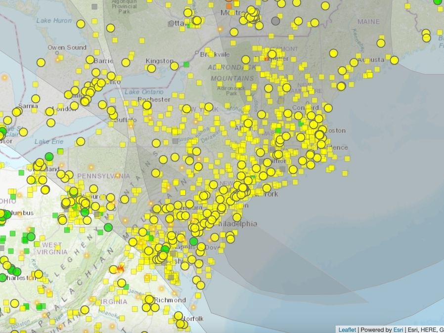
The Canadian weather service's interactive map of the plumes from wildfire smoke shows New York being overshadowed Friday afternoon.

Meanwhile, the weekend will be mostly cloudy with persistent chances for showers and thunderstorms.
"A slow-moving storm will tap into a growing zone of warm and moist air from the Appalachians to the Atlantic coast this weekend," said Alex Sosnowski, AccuWeather senior meteorologist.
That upper level low will help steer Hurricane Ernesto out to sea … but also keep the Hudson Valley unsettled Saturday and especially into Sunday, said the folks at Hudson Valley Weather.
Life-threatening rip currents are likely at Atlantic Coast beaches, the National Weather Service said.
Here's the five-day forecast based on northern Westchester:
Friday night
Mostly clear this evening, then becoming mostly cloudy. Lows in the mid 60s. Southeast winds around 5 mph.
Saturday
Mostly cloudy with a 20 percent chance of showers. Highs in the lower 80s. Southeast winds 5 to 10 mph.
Saturday Night
Mostly cloudy with a chance of showers with a slight chance of thunderstorms. Patchy fog. Lows in the upper 60s. Southeast winds 5 to 10 mph. Gusts up to 20 mph in the evening. Chance of rain 40 percent.
Sunday
Mostly cloudy. Patchy fog in the morning. A chance of showers and thunderstorms in the morning, then showers likely with a chance of thunderstorms in the afternoon. Humid with highs in the upper 70s. Southeast winds 5 to 10 mph. Gusts up to 20 mph in the afternoon. Chance of rain 70 percent.
Sunday Night
Showers with a chance of thunderstorms. Humid with lows in the upper 60s. Southeast winds 5 to 10 mph. Gusts up to 20 mph in the evening. Chance of rain 80 percent.
Monday
Showers likely with a chance of thunderstorms. Highs around 80. Chance of rain 70 percent.
Monday Night
Mostly cloudy with a chance of showers and thunderstorms. Lows around 60. Chance of rain 50 percent.
Tuesday
Partly sunny with a 30 percent chance of showers. Highs in the lower 70s.
Tuesday Night
Partly cloudy. A chance of showers in the evening. Lows in the mid 50s. Chance of rain 30 percent.
Get more local news delivered straight to your inbox. Sign up for free Patch newsletters and alerts.


