Weather
La Niña Is Running Late: Here's What It Means For PA
La Niña winters usually bring wetter, warmer conditions to parts of our state, according to climatologists. Here's what's in store for PA.

PENNSYLVANIA — La Niña is coming later than anticipated this year, forecasters at the Climate Prediction Center said, likely forming in the fall.
In a recent announcement, forecasters said La Niña conditions are favored to emerge during September through November in Pennsylvania. When the Climate Prediction Center first issued a La Niña watch in June, national meteorologists said the climate pattern was favored to occur between July and September.
The delay is good news for Gulf and East Coast states often impacted by hurricanes. If the La Niña climate pattern had formed as expected, the chances for an intense hurricane season would have been even greater, researchers said.
Find out what's happening in Across Pennsylvaniawith free, real-time updates from Patch.
Once La Niña does form, National Weather Service climate modeling indicates there’s a 74 percent chance it will last through winter, affecting rain and snow levels.
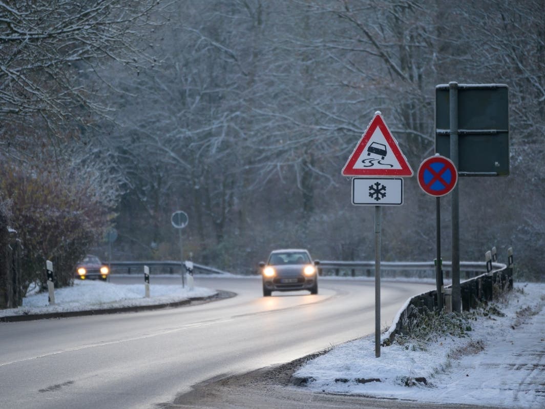
A La Niña winter typically means average precipitation and warmer-than-average temperatures for the eastern half of Pennsylvania, and wetter-than-average conditions in the western half of the state and the Ohio Valley.
Find out what's happening in Across Pennsylvaniawith free, real-time updates from Patch.
Meanwhile, current conditions are in an "ENSO-neutral" pattern, meaning neither El Niño nor La Niña patterns are in place. The pattern is expected to continue for the next several months, the Climate Prediction Center said, with La Niña favored to emerge during September-November.
"Although the rate of SST cooling has been slower than previously anticipated, below-average subsurface temperatures and low-level easterly wind anomalies remain conducive to La Niña development in the coming months," NOAA said in a statement.
The last month has seen average sea surface temperatures but temperatures 300 meters below the surface are cooler than average, according to NOAA Climate Scientist Tom DiLiberto. The below-average water temperatures will be one of the driving forces for La Niña forming later this year, DiLiberto said.
Patch editor Rachel Barnes contributed to this report.
Get more local news delivered straight to your inbox. Sign up for free Patch newsletters and alerts.


