Weather
Heavy Rain, Flood Threat Continues: When Debby Remnants Leave Northern VA
Debby, now a post-tropical cyclone, has brought enough rain to prompt a flood warning and tidal flooding risk in some parts of Virginia.

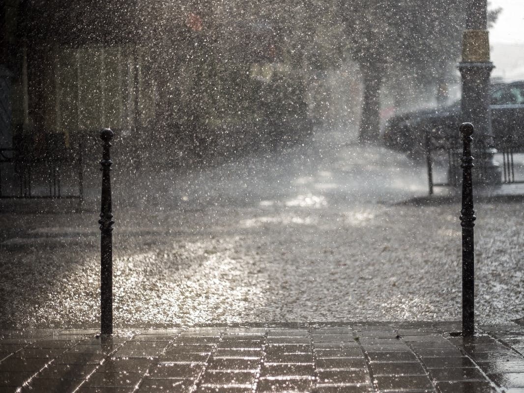
VIRGINIA — While Debby has significantly weakened from a category one hurricane and tropical storm, its remnants continue to bring heavy rain and flash flooding Friday. Flood and tornado warnings were issued at times overnight, and continue to pop up Friday.
"Stay weather aware today as remnants of Debby move through," the Baltimore-DC office of the National Weather Service said Friday morning.
Alexandria is experiencing flash flooding, including tidal flooding around lower King Street and other flood-prone areas, like around the Braddock Metro Station and the Glebe Road and Commonwealth Avenue intersection.
Find out what's happening in Old Town Alexandriawith free, real-time updates from Patch.
According to the National Hurricane Center, Debby will continue to bring heavy rainfall with "considerable to locally catastrophic flooding impacts" from parts of the Mid-Atlantic to the Northeast through Friday night.
Debby will soon depart the region, however. The NWS Baltimore Washington Office expects the bulk of rain, including heavy rain, to drop off by the mid-afternoon. Clear and sunny skies with dry conditions will return Saturday and Sunday, according to forecasters.
Find out what's happening in Old Town Alexandriawith free, real-time updates from Patch.
The National Weather Service issued a flash flood warning until 11 a.m. Friday in parts of the region, including Arlington County, Fairfax County, Alexandria and District of Columbia. As of 9:27 a.m., the doppler radar tracked thunderstorms that can produce heavy rain in the warning area. The area has already seen 2 to 3 inches of rain fall, and another 0.5 inches could fall and bring flash flooding.
A flood warning is also in effect until 1 p.m. Friday in the District of Columbia, Arlington County, Fairfax County, Alexandria and Falls Church. The flood warning through 1 p.m. indicates flooding of rivers, creeks, streams, low-lying areas and flood-prone locations is coming or already happening. Forecasters say streams are continuing to rise due to excess rainfall.
Coastal flooding is another threat on the shorelines in Alexandria and Arlington County. A coastal flood warning is in effect until 4 p.m., then a coastal flood advisory continues until 2 a.m. Saturday. According to the National Weather Service, tidal flooding could bring one to two feet of inundation above ground level in low-lying areas during the warning. The advisory means up to a half-foot of inundation is anticipated.
A flood watch continues in the greater region until 8 p.m. Friday due to the flood risk from excess rainfall. Areas under the flood watch in Northern Virginia are Fairfax County, Arlington County, Falls Church, Alexandria, eastern Loudoun County, northwest, central and southeast Prince William County, Manassas and Manassas Park. There is also a coastal flood advisory until 9 p.m. Friday in Fairfax County, Stafford County, central and southeast Prince William County, Manassas and Manassas Park. Forecasters say tidal flooding can bring up to a half-foot of inundation above ground level in low-lying areas.
Tornadoes are less of a concern following earlier watches and warnings. The National Hurricane Center said there was a risk of tornadoes in Virginia early Friday that will shift northward into New Jersey, eastern Pennsylvania and eastern New York. The National Weather Service discontinued a tornado watch for Northern Virginia Friday morning.

Here is the Northern Virginia forecast for the remnants of Debby and the days ahead:
Friday: Showers and possibly a thunderstorm, mainly before 5 p.m., then a chance of showers and thunderstorms after 5 p.m. Some of the storms could be severe. High near 84. Breezy, with a south wind 20 to 23 mph, with gusts as high as 39 mph. Chance of precipitation is 100 percent. At night, a chance of showers and thunderstorms before 11 p.m., then a slight chance of showers between 11 p.m. and 2 a.m. Cloudy, then gradually becoming partly cloudy, with a low around 73. Southwest wind 8 to 13 mph becoming west after midnight. Winds could gust as high as 18 mph. Chance of precipitation is 30 percent at night.
Saturday: Sunny, with a high near 88. Northwest wind 9 to 11 mph. At night, partly cloudy, with a low around 70. North wind 6 to 8 mph.
Sunday: Sunny, with a high near 86. West wind 6 to 8 mph. At night, mostly clear, with a low around 67.
Monday: Mostly sunny, with a high near 85. At night, partly cloudy, with a low around 68.
Tuesday: Sunny, with a high near 85. At night, mostly clear, with a low around 69.
Get more local news delivered straight to your inbox. Sign up for free Patch newsletters and alerts.


