

States/Territories
Leadership
Resources
Contact Us
News
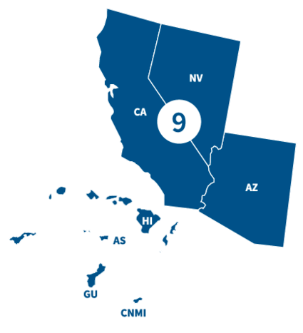
FEMA Region 9 office, located in Oakland, CA, partners with federal emergency management for 150 Tribal Nations and the following states/territories.
States and Territories
Visit the state/territory's page for localized content, such as disaster recovery centers, flood maps, fact sheets, jobs and other resources.
Leadership

Region 9 Administrator

Region 9 Deputy Administrator
Region 9 Resources
Environmental Requirements to Apply for FEMA Funding
When a community applies for FEMA funding — such as Public Assistance, Hazard Mitigation Assistance or Preparedness Grants — potential impacts to the environment and cultural resources must be considered.
- Learn about environmental requirements
- View listings of Region 9's existing environmental assessments and notices
NOTE: Environmental requirements do not apply to individuals and families applying for assistance.
Find Your Flood Map
Risk Mapping, Assessment and Planning (Risk MAP) is a national FEMA program that works with states, tribes, territories and local communities to evaluate and better understand their current flood risk, as well as the actions that can be taken to mitigate and become more resilient against future risk.
Contact Us
General
510-627-7100
Congressional Affairs
Casey De Shong
510-627-7785
[email protected]
National Earthquake Hazards Reduction Program
Anne Rosinski
510-627-7172
[email protected]
Exercise Officer
510-627-7229
[email protected]
News Desk (Public Affairs)
Brandi Richard Thompson
510-627-7006
[email protected]
Private Sector
[email protected]
Tribal Affairs Liaison
[email protected]