
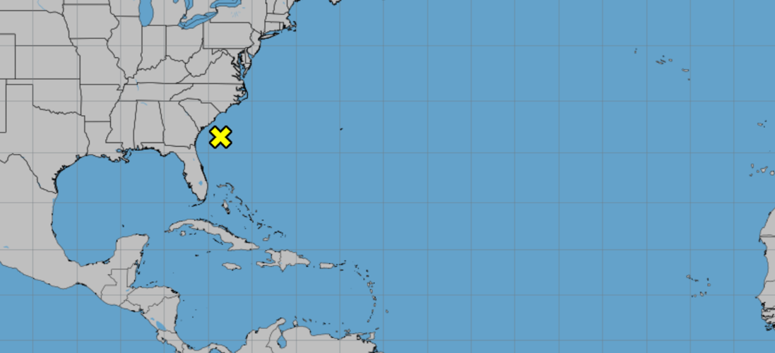


A tropical disturbance that hurricane forecasters originally spotted off the southeastern U.S. coast Wednesday will likely not form into a stronger storm, according to the National Hurricane Center in Miami.
NHC forecasters say that the system is now located about a hundred miles off the coast of South Carolina, where it is producing disorganized showers and thunderstorms. The system could bring heavy rainfall and possible flash flooding across coastal areas of the Carolinas and the Mid-Atlantic through Friday night.
However, as the disturbance moves inland, strong upper-level winds should limit development, NHC forecasters say. The chance of it forming within the next couple of days is near 0%.
When it was stirring in the southeastern coast Wednesday and Thursday, the chance of the system forming into a stronger storm within the next two days was also low, or 10 percent.
The disturbance does not pose a threat to Louisiana.
Beryl remnants
The remnants of Beryl dissipated Thursday morning, after shifting to the northeast region a day before and threatening the area with flash flooding and tornadoes.

A vehicle is stranded in high waters on a flooded highway in Houston, on Monday, July 8, 2024, after Beryl came ashore in Texas as a hurricane and dumped heavy rains along the coast. (AP Photo/Juan A. Lozano)
Hurricane Beryl, the second named storm of the 2024 Atlantic hurricane season, broke records as the strongest and earliest hurricane to form in June. It made landfall on Monday along the Texas coast.
Houston, Galveston and coastline areas faced the heaviest impact from the storm, including high winds, heavy rainfall, strong storm surge and millions without power.
There have been three named storms so far this hurricane season — Alberto, Beryl and Chris. The season takes place from June 30 to November 1.