Weather
Millions Of Coloradans Brace For 'Extremely Critical Fire Conditions'
A large swath of Colorado braced Friday for "extremely critical fire conditions" in Denver, Castle Rock, Colorado Springs and more.

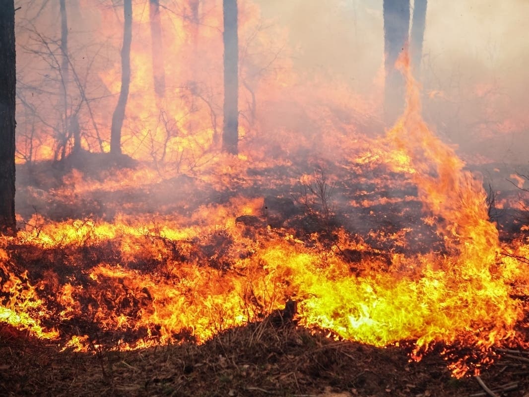
DENVER, CO — Millions of Coloradans braced Friday for what officials called "extremely critical fire conditions," amid a perfect storm of dry, warm weather and blustery winds.
The National Weather Service warned of extremely critical fire weather Friday in Denver, Castle Rock, Colorado Springs, Limon, Fort Morgan, Akron, Pueblo, La Junta, Flagler, Kit Carson, Lamar and everywhere in between.
Critical fire weather conditions stretched to Fort Collins, Boulder, Sterling, Wray, Julesburg, and Goodland.
Find out what's happening in Denverwith free, real-time updates from Patch.
The weather service issued a hazardous weather outlook Friday for northeastern and north-central Colorado, warning of extreme fire weather and high winds for lower elevations and the eastern slopes of the Front Range foothills.
"Extreme fire weather conditions are expected over the plains and foothills today into this evening," the weather service said. "Very warm, dry, and windy weather would create dangerous conditions, making any new wildfire impossible to control."
Find out what's happening in Denverwith free, real-time updates from Patch.
The weather service warned residents to avoid any activity that could create a spark or open flame. It also warned residents to prepare to take action.
"If you smell smoke or see fire, move in a direction opposite the fire immediately," the weather service warned.
Additionally, strong winds will also create blowing dust and poor visibility, making driving dangerous out on the plains.

High winds of up to 40 mph — with 65 mph gusts — were expected in Denver, Castle Rock, Fort Morgan, Byers, Sterling, Julesburg, and Holyoke beginning around 11 a.m. Friday and lasting until midnight.
"Gusty winds will blow around unsecured objects and a few power outages may result," the weather service warned. "Blowing dust will reduce visibility to less than a quarter mile in places."
Meanwhile, a few thunderstorms were expected for the far northeast corner of Colorado Friday evening over Phillips and Sedgwick Counties, and the storms could produce hail and strong winds.
Snow was expected late Friday afternoon and into the night for the high mountains, with scattered rain and snow showers in the foothills and high valleys. Scattered rain showers were expected over the northeast plains.
Get more local news delivered straight to your inbox. Sign up for free Patch newsletters and alerts.