Community Corner
Picture Connecticut: The Notch
There's a part of Connecticut that's actually north of a part of Massachusetts ... and it's a long story.

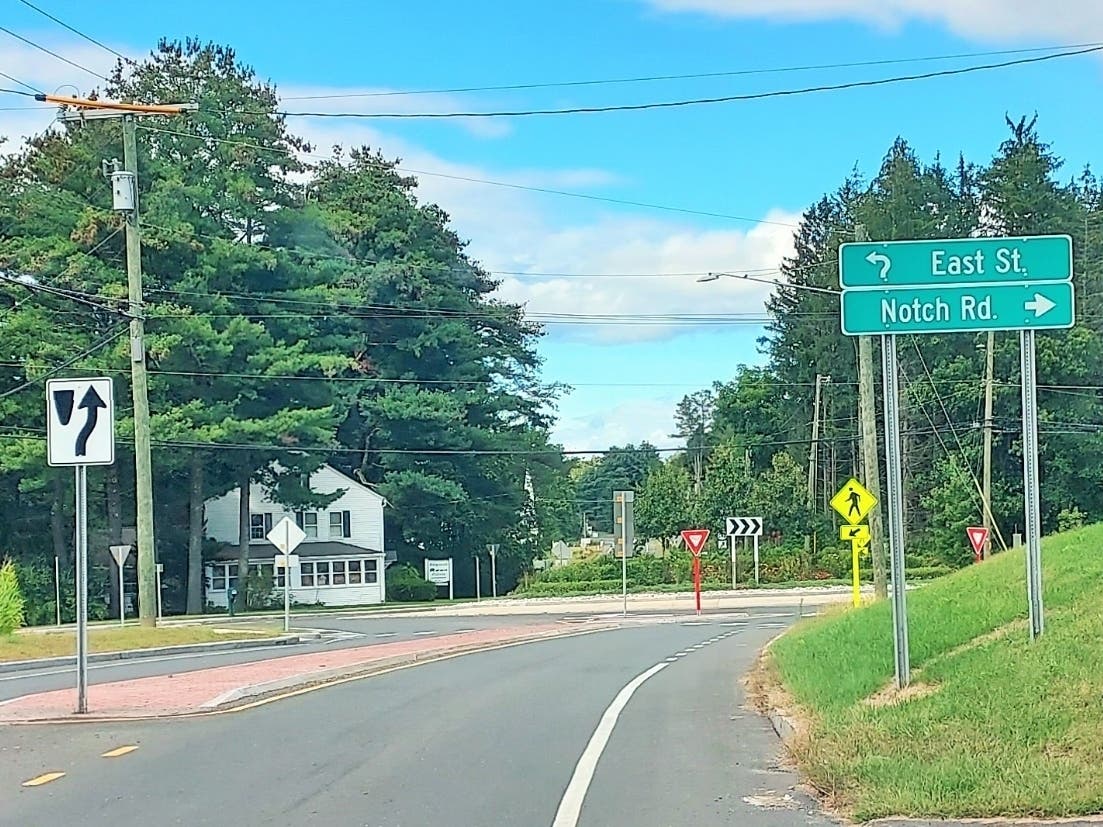
GRANBY, CT — This week's installment of the Picture Connecticut series takes us right smack in the middle of Connecticut's northern border and what appears to be an anomaly on the map.
It's The Notch, which takes travelers, in a sequence from west-to-east, from Granby to Southwick, MA; to Congamond Lakes to Suffield and parts of Connecticut are actually farther north than parts of Massachusetts.
It's also called the "Southwick Jog."
Find out what's happening in Across Connecticutwith free, real-time updates from Patch.
According to the Connecticut State Library, Connecticut's cutout dates back to 1642, when Massachusetts hired two surveyors to detail the border. Connecticut officials disputed one point as being a couple of miles too far south and the argument lasted for the next 60 years because surveyors hired by either Connecticut or Massachusetts set a number of boundaries favorable to the colony that employed them.
To compound the problem, the towns of Enfield, Somers, Suffield and Woodstock, unhappy with Massachusetts' apparent high taxes, applied for admission into Connecticut in 1724.
Find out what's happening in Across Connecticutwith free, real-time updates from Patch.
The state library points out that, in 1793, following the Revolutionary War, both states appointed boundary commissioners to determine a straight line from Union in Connecticut to the New York state line.
According to the state library, in 1797, the commissioners recommended that a disputed 2.5-square-mile tract be awarded to Massachusetts as compensation for its earlier losses of Suffield, Woodstock, Somers and Enfield to Connecticut. In 1804, Connecticut finally agreed to a compromise that partitioned the 2.5-mile area at Congamond Lakes, with Massachusetts receiving five-eighths of the disputed parcel along the west shore and Connecticut receiving the remainder, along the east shore.
____
Picture Connecticut is a weekly Patch series featuring unique images of the state, past and present.
Previous featured images:
- The CT 9/11 Monument, Westport
- Vintage Gas Pump, Somers
- Tobacco Harvest, East Windsor
- Late Afternoon, Lakeside, Coventry
- Fogarea, New Haven County
- Judy Black Memorial Park and Gardens, Washington Depot
- Connecticut River Police Boat, Rocky Hill
- The first dentist, Windsor
- The Frog Bridge, Willimantic
- The World War Bridge Rapids, Putnam
- The Peeking Cow, Tolland County
- The Ivy Lacrosse Tournament, New Canaan
- The Bradley International Airport runway, Windsor Locks
- The Underground Railroad, Unionville
- The cow carousel, Ellington
- Charles Island, Milford
- State Veterans Cemetery, Middletown
- Glastonbury-Rocky Hill Ferry, Glastonbury/Rocky Hill
- The Old County Jailhouse, Tolland
- Agent Orange Monument, Andover
- The Sunken Garden, Farmington
- Lafayette Tour Monument, Vernon
- The Pinchot Sycamore, Simsbury
- Bob's Discount Furniture Studios, Manchester
Get more local news delivered straight to your inbox. Sign up for free Patch newsletters and alerts.