Community Corner
Picture Connecticut: Rapids In The Northeast Corner
The latest installment of the Picture Connecticut series.

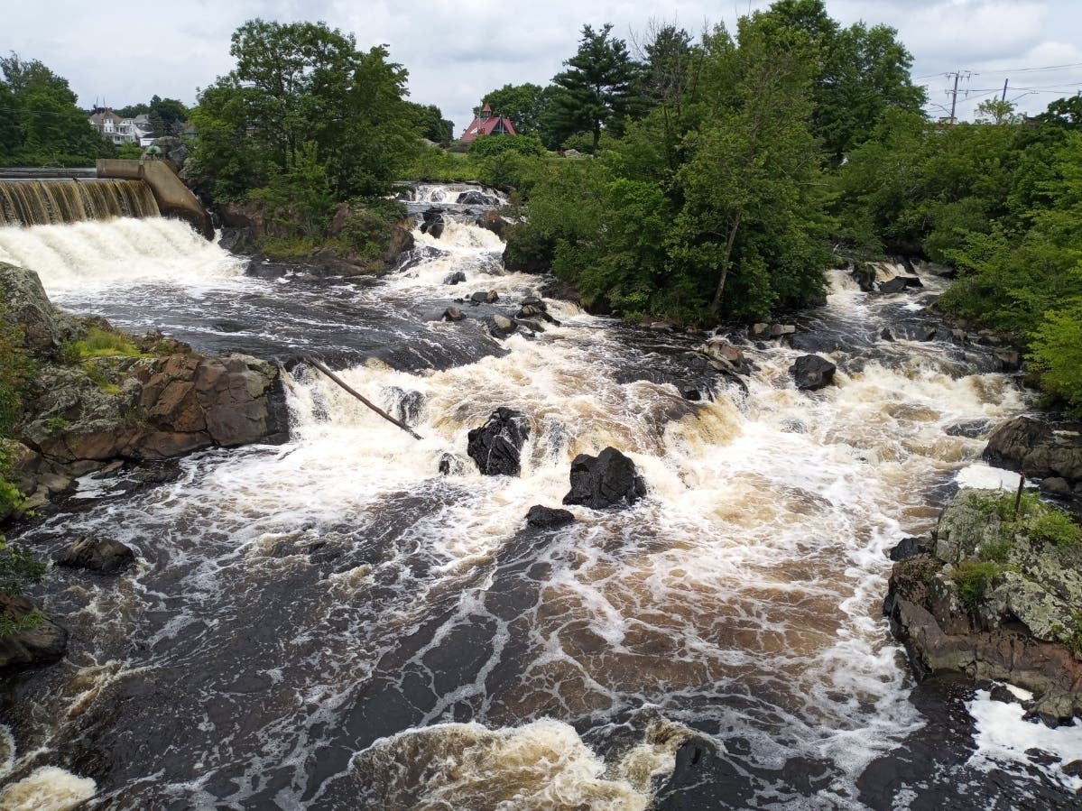
PUTNAM, CT — The latest installment of the Picture Connecticut series takes us to the northeast corner of the state and the town of Putnam.
There, on Sunday, was a testament to the heavy rains the state has experienced this summer.
The rapids below the waterfall in the center of town adjacent to the World War Memorial Bridge were raging.
Find out what's happening in Across Connecticutwith free, real-time updates from Patch.
The rapids are part of the Quinebaug River.

____
Find out what's happening in Across Connecticutwith free, real-time updates from Patch.
Picture Connecticut is a weekly Patch series featuring unique images of the state, past and present.
Previous featured images:
- The Peeking Cow, Tolland County
- The Ivy Lacrosse Tournament, New Canaan
- The Bradley International Airport runway, Windsor Locks
- The Underground Railroad, Unionville
- The cow carousel, Ellington
- Charles Island, Milford
- State Veterans Cemetery, Middletown
- Glastonbury-Rocky Hill Ferry, Glastonbury/Rocky Hill
- The Old County Jailhouse, Tolland
- Agent Orange Monument, Andover
- The Sunken Garden, Farmington
- Lafayette Tour Monument, Vernon
- The Pinchot Sycamore, Simsbury
- Bob's Discount Furniture Studios, Manchester
Get more local news delivered straight to your inbox. Sign up for free Patch newsletters and alerts.