Weather
Over 64,000 Without Power After Severe Storms Hit Illinois
Flood warnings and watches were still in effect.

UPDATED: 9:10 P.M. FRIDAY
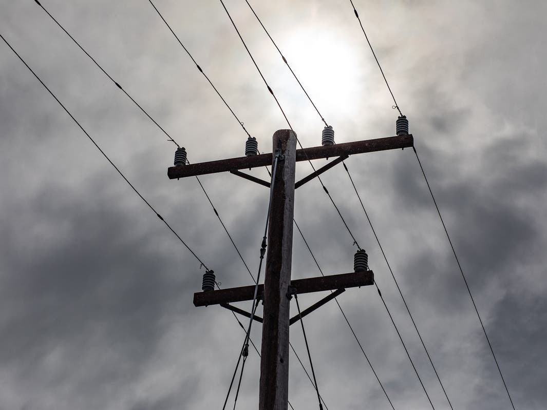
ILLINOIS — With tornado and severe storm warnings expiring across the Chicago area and severe weather moving into northwestern Indiana, ComEd was reporting more than 64,000 customers without power.
"We’ve increased staffing and our crews are ready to respond to any outages or issues that may occur." ComEd said, urging customers to report any outages online.
Find out what's happening in Across Illinoiswith free, real-time updates from Patch.
A tornado watch remained in effect for the Chicago area until 10 p.m. and a flash flood warning was in place for Cook, DuPage and Lake counties until 11 p.m. A flood watch was also in effect for Central Cook; DuPage; Eastern Will; Kane; Lake; Northern Cook; Northern Will; Southern Cook; Southern Will until 1 p.m. Saturday.
The above information was updated at 9:10 p.m.
Find out what's happening in Across Illinoiswith free, real-time updates from Patch.
UPDATED AT 8 P.M.: A tornado warning has been issued for one suburban county as a fast-moving storm capable of producing tornadoes moves toward the Chicago area.
Tornado warnings are in effect until 8:30 p.m. for western McHenry County, northeastern Ogle County, northern De Kalb County, Winnebago County and Boone County. At 7:47 p.m., radar confirmed a tornado northwest of Belvedere. Weather officials say the storms, which are capable of producing tornadoes, were located along a line extending from near Beloit to Timberlane to near Kingston and were moving east at 60 mph.
Other locations in the path of these tornadic storms include Capron, Harvard and Marengo as well as I-90 between mile markers 0 and 11 and between mile markers 21 and 37.
Meanwhile, A severe thunderstorm warning has been issued for Kendall and Kane counties until 8:15 p.m., according to the National Weather Service. Those storms could produce 90 mph wind gusts and quarter-sized hail.
Around 8 p.m., these storms are expected to be near Batavia, Geneva, Campton Hills, North Aurora, Pingree Grove and Boulder Hill. They could hit the following towns by 8:05 p.m.: Joliet, Plainfield, St. Charles, West Chicago, Minooka, South Elgin, West Dundee, Sleepy Hollow, Wayne and Valley View. By 8:10 p.m ., the storm could be near Elgin, Bartlett and East Dundee.
Meanwhile, a tornado watch remains in effect through 10 p.m. for Boone, Cook, DeKalb, DuPage, Ford, Grundy, Iroquois, Kane, Kankakee, Kendall, Lake, La Salle, Lee, Livingston, McHenry, Ogle, Will and Winnebago counties
The above information was updated at 8 p.m. Check the National Weather Service Chicago for more.
ORIGINAL ARTICLE: As severe weather approaches the Chicago area, the National Weather Service has issued a tornado watch until 10 p.m. Friday for Boone, Cook, DeKalb, DuPage, Ford, Grundy, Iroquois, Kane, Kankakee, Kendall, Lake, La Salle, Lee, Livingston, McHenry, Ogle, Will and Winnebago counties.
The first round of severe weather is expected between 3 and 6 p.m. for the Chicago area, according to the weather service.

The main threats with the storms include destructive winds greater than 75 mph, damaging hail and tornadoes.
Watch vs Warning
According to the National Weather Service, a tornado watch issued when severe thunderstorms and tornadoes are possible. "It does not mean that they will occur. It only means they are possible," the weather service states on its website.
A tornado warning is issued when a tornado is imminent. You should seek shelter immediately, the weather service said.
2 Rounds Of Storms
A second round of storms is also expected between 7 and 11 p.m. Friday.
"This is a relatively rare, significant severe weather threat for our area," the weather service noted.
The weather service advised having multiple ways to get weather warnings, including a way to wake you up.
Destructive winds greater than 75 mph are possible, and damaging hail could occur, mainly during round one of the storms. The weather service said the hail could be capable of denting cars and siding.
AccuWeather also called for "explosive thunderstorm development," with storms threatening a large swath of the country, including Chicago, St. Louis, Little Rock and Indianapolis.
After storms move out of the area, there will also be non-thunderstorm winds of 45 mph, mainly near and south of Interstate 80, according to the weather service.
Get more local news delivered straight to your inbox. Sign up for free Patch newsletters and alerts.