Seasonal & Holidays
Major Christmas Week Storm? Snow, Heavy Rain In Play For NJ
Forecasters recommend staying flexible on when you depart for holiday travel, if you're able.


NEW JERSEY — A major storm could wreak havoc in New Jersey during the days leading up to Christmas, meteorologists say. Those traveling for the holidays may face heavy rain, gusty winds and some snow, according to the National Weather Service.
The agency expects the "significant storm" to hit the area Thursday and Friday, but the precipitation may end by Saturday. Christmas Day is Sunday.
AccuWeather sees a growing chance of a massive storm hitting the nation from Thursday to Saturday. The conditions could leave people stranded on highways and inside airports, AccuWeather says.
Find out what's happening in Across New Jerseywith free, real-time updates from Patch.


Even if your airport is outside of the storm's primary target zones, delays at other travel hubs may cause a cascading effect that displaces aircraft and crews, the weather platform says. AccuWeather recommends staying flexible on when you depart for holiday travel, if you're able.
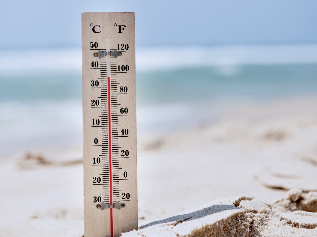
This could also become the coldest Christmas in decades, so those leaving home may want to take precautions to avoid freezing pipes or potential water damage.
Find out what's happening in Across New Jerseywith free, real-time updates from Patch.
Stormy Weather In New Jersey
Portions of New Jersey may get some snow Thursday, but rain and wind remain the primary threats, the National Weather Service says. Precipitation will likely begin Thursday morning or later, according to the agency.
New Jersey's highest probability of precipitation is Thursday night into Friday, the National Weather Service says. Moderate to briefly heavy rates of rain remain possible during that window. But with total amounts expected between 0.5-1.5 inches, with the greatest rainfall in North Jersey, flooding from the storm is unlikely, the agency says.

It's likely that stormy, windy conditions will cause significant travel delays out of New York and Philadelphia on Friday, AccuWeather says.
There's a chance of snow showers late Friday, but the National Weather Service doesn't expect much. But with Arctic, frigid air pouring in, AccuWeather warns that rain could change to snow. When and where that occurs will depend on the storm's intensity.
Heavy gusts will develop Thursday night, the National Weather Service says. Advisory-level winds — greater than 45-mph gusts — are possible, especially Friday toward the coast, with gusty, westerly winds continuing into Saturday.
It'll be a cold weekend, with highs struggling to get into the 20s and lows in the teens, with single digits possible in the coldest spots, per the National Weather Service. But the weather will be dry and sunny, with some brisk winds Saturday, the agency says.
Chaotic Travel Days Around The Nation
The portions of the country with the highest snow potential — the southern Plains, Midwest and Northeast — don't include New Jersey, per AccuWeather. But poor travel conditions may still unfold in the region.
"This storm will likely become intense, feeding on the extremely sharp variation between the surging arctic air arriving from the Central states and relatively warm air across the Southeastern U.S.," said AccuWeather Chief Meteorologist Jon Porter. "Major East Coast storms over the decades have occurred in this type of setup, bringing the risk for heavy snow and rain, gusty winds, coastal flooding, severe thunderstorms and even tornadoes on the southern side of the storm."
Here's the National Weather Service's latest North Jersey forecast:
- Monday night: Mostly clear, with a low around 26. Northwest wind 7 to 9 mph.
- Tuesday: Sunny, with a high near 40. Wind chill values between 20 and 30. Northwest wind 6 to 8 mph.
- Tuesday night: Mostly clear, with a low around 24. North wind 3 to 5 mph.
- Wednesday: Mostly sunny, with a high near 40. Light and variable wind.
- Wednesday night: Mostly cloudy, with a low around 28.
- Thursday: Rain likely after 1 p.m. Mostly cloudy, with a high near 49. Chance of precipitation is 60 percent.
- Thursday night: Rain. Low around 42. Chance of precipitation is 100 percent.
- Friday: Rain. High near 57. Chance of precipitation is 90 percent.
- Friday night: A 30 percent chance of snow showers before 1 a.m. Mostly cloudy, with a low around 16.
- Saturday: Mostly sunny, with a high near 28.
- Saturday night: Mostly clear, with a low around 16.
- Sunday (Christmas Day): Sunny, with a high near 28.
Here's the agency's latest South Jersey forecast:
- Monday night: Sunny, with a high near 39. Northwest wind around 15 mph.
- Tuesday: Mostly clear, with a low around 26. Northwest wind around 10 mph, with gusts as high as 20 mph.
- Tuesday night: Mostly clear, with a low around 28. North wind around 5 mph.
- Wednesday: Mostly sunny, with a high near 44. Calm wind becoming north around 5 mph.
- Wednesday night: Mostly cloudy, with a low around 36.
- Thursday: Rain likely, mainly after 1 p.m. Mostly cloudy, with a high near 53. Chance of precipitation is 60 percent.
- Thursday night: Rain. Low around 50. Windy. Chance of precipitation is 90 percent.
- Friday: Rain. High near 57. Windy. Chance of precipitation is 90 percent.
- Friday night: A chance of showers before 1 a.m. Partly cloudy, with a low around 22. Windy. Chance of precipitation is 30 percent.
- Saturday: Mostly sunny, with a high near 29. Breezy.
- Saturday night: Mostly clear, with a low around 17. Breezy.
- Sunday (Christmas Day): Sunny, with a high near 29.
Get more local news delivered straight to your inbox. Sign up for free Patch newsletters and alerts.