Weather
End Of Rain Deluge For NJ? See Wednesday Forecast
When will overcast skies and rounds of storms depart from the Garden State? Here's what you need to know.

NEW JERSEY - Gloomy, wet conditions are tapped to remain on Wednesday, set to be the finale of a nearly weeklong rain spell in the Garden State.
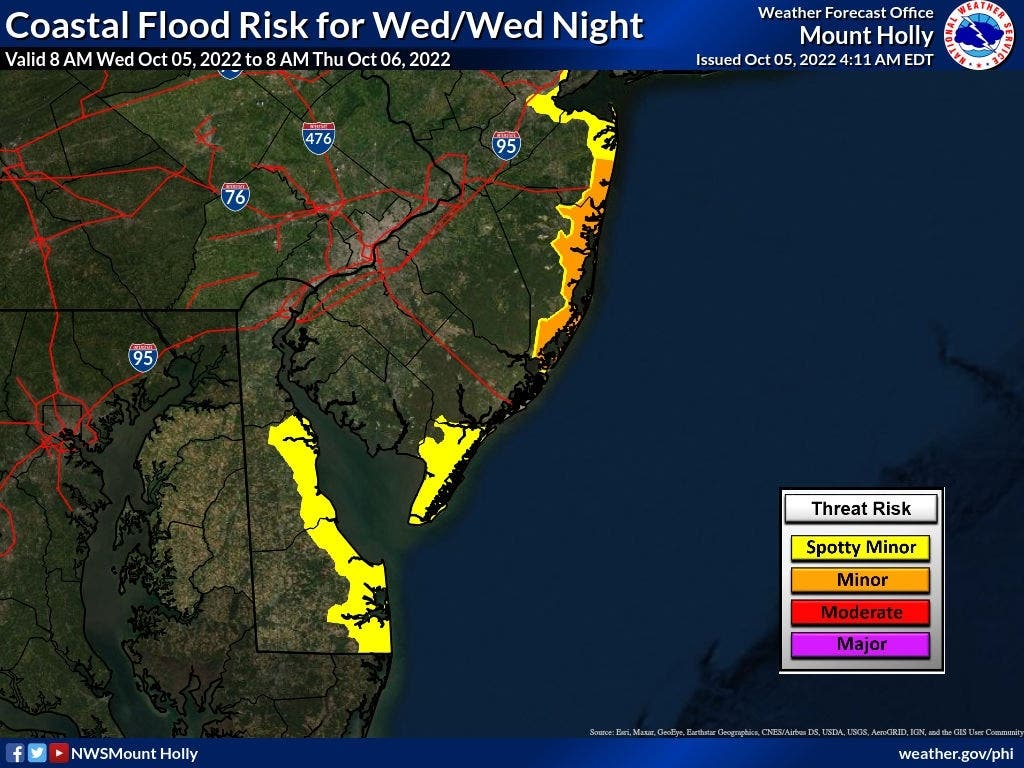
Minor coastal flooding will still be at play on Wednesday, according to the National Weather Service, with low-lying roadways and areas with poor drainage at risk. Gale-force winds along the coast are also in the cards, as well as additional rainfall before 3 p.m. set to dump up to 1.5 inches on the Jersey Shore and half an inch near the western part of the state.
“The end of the rain is in sight,” the National Weather Service tweeted Wednesday morning. “This pesky low will finally move out tonight and after one more day of showers today, and just a small rain chance Friday, we'll be dry through the weekend. A shot of colder air comes Friday too... but it'll be dry.”
Find out what's happening in Berkeleywith free, real-time updates from Patch.
North New Jersey may see the highest impacts of rain and thunderstorms Wednesday, the agency said.
The agency also warned of dangerously high rip currents in Delaware and New Jersey beaches through Wednesday evening.
Find out what's happening in Berkeleywith free, real-time updates from Patch.
"Swim near a lifeguard. If caught in a rip current, relax and float," the agency said. "Don`t swim against the current. If able, swim in a direction following the shoreline. If unable to escape, face the shore and call or wave for help."
The rain is slated to taper off sometime before 7 p.m., the National Weather Service said, with temperatures dropping to the low 50s.
Thursday is set to return to sunny skies and a temperate high of 73 degrees, per AccuWeather. Friday, Saturday and Sunday should continue the trend with “plenty of sunshine,” the service said.
Here’s the latest forecast, per the National Weather Service:
Wednesday: Showers likely, mainly before 3 p.m. Cloudy, with a high near 62. North wind around 10 mph, with gusts as high as 20 mph. Chance of precipitation is 70%. New precipitation amounts between a tenth and quarter of an inch possible.
Wednesday Night: A chance of showers, mainly before 7 p.m. Patchy fog after 1 a.m. Otherwise, cloudy, then gradually becoming partly cloudy, with a low around 52. Northwest wind around 5 mph. Chance of precipitation is 30%. New precipitation amounts of less than a tenth of an inch possible.
Thursday: Sunny, with a high near 73. Northwest wind around 5 mph becoming calm.
Thursday Night: Mostly clear, with a low around 52. Calm wind becoming southwest around 5 mph.
Friday: Sunny, with a high near 75. West wind 5 to 10 mph.
Friday Night: Partly cloudy, with a low around 44.
Get more local news delivered straight to your inbox. Sign up for free Patch newsletters and alerts.