NOAA researchers compare tornado wind estimation methods
Just how strong are the winds in a tornado?
That’s the question that continues to vex researchers because no tool has been developed that can withstand a direct encounter with a violent tornado at ground level. The current practice is to look at the damage a tornado causes to estimate the peak wind speed and determine its strength according to the Enhanced Fujita Scale.
Accurate wind estimates are key to improving public safety, advancing scientific knowledge, and minimizing the impact of tornadoes on society. This includes assessing damage for insurance claims, repairs and long-term recovery; informing better building codes and standards to reduce loss of life and property; and improved understanding of tornado behavior leading to better preparedness and mitigation strategies.

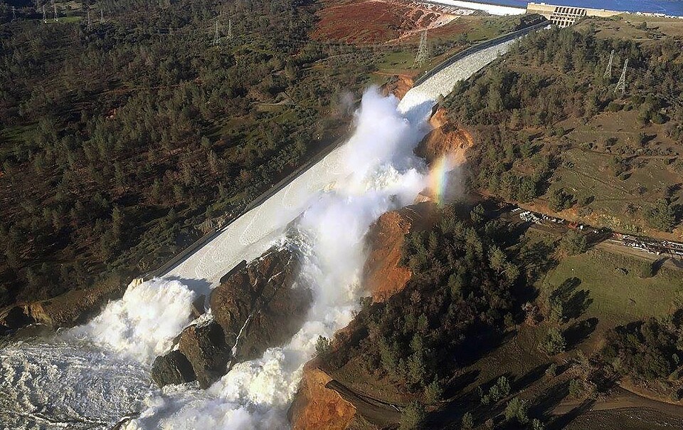
Illustration of where traditional and mobile radars usually scan a tornado or its parent circulation relative to where damage occurs, superimposed on the Custer City, Oklahoma tornado of May 19, 2024. Credit: Billy Faletti/NOAA
In a new effort to answer this question, researchers at the NOAA National Severe Storms Laboratory have published a study in the August issue of Monthly Weather Review comparing tornado intensity estimates determined by damage and by weather radar. Their conclusion is that radar-based estimates of near-ground wind speeds in tornadoes are frequently higher than estimates derived from damage using the EF scale.
The researchers also found that the difference between radar-based and EF-scale-based wind speed estimates grows larger as tornado intensity increases. This means the current EF scale could be underestimating tornadic winds, and the difference could be greatest in the strongest tornadoes, said lead author and NSSL research scientist Anthony Lyza.
Their analysis compared low-altitude observations from stationary WSR-88D “NEXRAD” radars and damage for 105 different tornadoes that occurred in a variety of locations and land characteristics between 2011 and 2023. These tornadoes also varied in intensity from EF0 to EF4. Typically, the “damage layer” for tornadoes is up to 30 feet high.
The researchers chose NEXRAD data measured at or below 500 feet from the ground because it gave them a greater variety of cases to study, including tornadoes in regions where gathering mobile radar data near the ground is extremely difficult, such as the southeast United States. While mobile radars are able to sample winds closer to the ground as low as 100 feet, these observations are rare and mostly focused in the Great Plains.
“We hope our findings will contribute to community-wide efforts to improve damage-based estimates of peak tornado wind speeds,” Lyza said. “This information will help us better understand tornado damage and help communities become more resilient.”
While the findings in this paper are clear, much uncertainty still exists in how radar-measured wind speeds relate exactly to the wind speeds that the EF scale is estimating, the authors admit as they plan to further study the topic.
Media contact: Keli Pirtle, [email protected]; (405) 203-4839