
KNOXVILLE, Tenn. — People in East Tennessee should stay alert Tuesday night for the possibility of some strong to potentially severe storms.
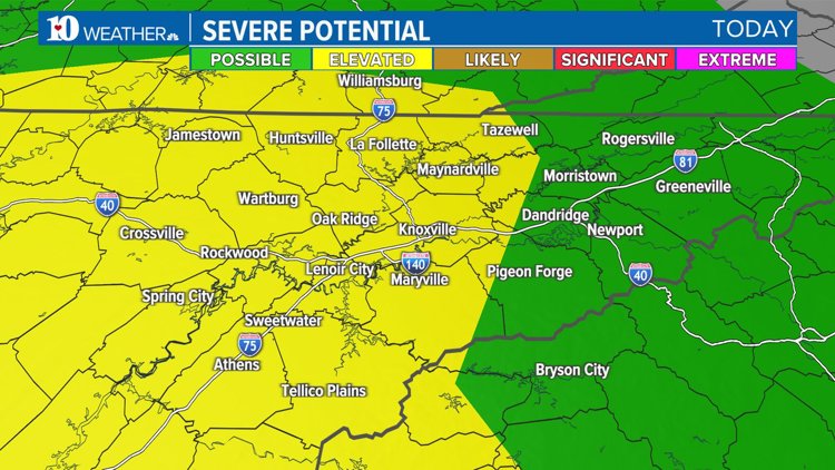
All of East Tennessee is under a marginal to slight risk for severe weather on Tuesday. The worst storms are expected to arrive between 6 to 11 p.m.
If we do see severe storms, the biggest concerns will be the strong, gusty winds. Those will have the potential to knock down trees and power lines. Some heavy rain could lead to some localized flooding in areas that a more prone to flooding, and there is the potential for some quarter-sized hail.


As of 4:30 p.m., the storms were south of Nashville moving northeast toward the city. The National Weather Service in Nashville issued a Severe Thunderstorm Watch for Middle Tennessee and warned that the storms could intensify into the evening.
Timing and Impact
There will be two waves of storms. The first wave of scattered showers moves through the area in the early afternoon -- lasting into the early evening.
The second wave is expected to arrive around sunset, and this will be the line to keep an eye on. Starting around dinner time, the Cumberland Plateau and Central Valley, including Knoxville and Maryville, will have the chance to see strong to potentially severe storms. The main risks will be gusty winds and hail, but we can't rule out the low chance of an isolated tornado.
Stronger instability will be present in the atmosphere, so if the second wave taps into that -- there will be a greater chance for strong to severe storms tonight.
As of 1 p.m., models were showing that this system's potential was backing off a little, but you still need to be aware that the chances for strong storms are still there. Models showed the second wave would arrive in the Plateau around 8-9 p.m., and then move into the Valley from 10 to 11 p.m.


Staying Safe
Make sure you have a way to receive weather alerts and have a plan if severe weather strikes. Know where you will go if a warning is issued.
Your "safe place" should be a bathroom or closet in the lowest level of your home away from doors and windows. Put as many walls between you and the wind as possible to avoid flying debris.


Make sure you have multiple ways to receive alerts and notifications, especially the type that will wake you up if you go to sleep before the storms arrive tonight.
Check back for updates to the forecast!
