Weather
Hot And Humid Heat Wave Brings Chance Of Westwood Thunderstorms
The second heat wave of the summer is going to feel a lot muggier than the first.

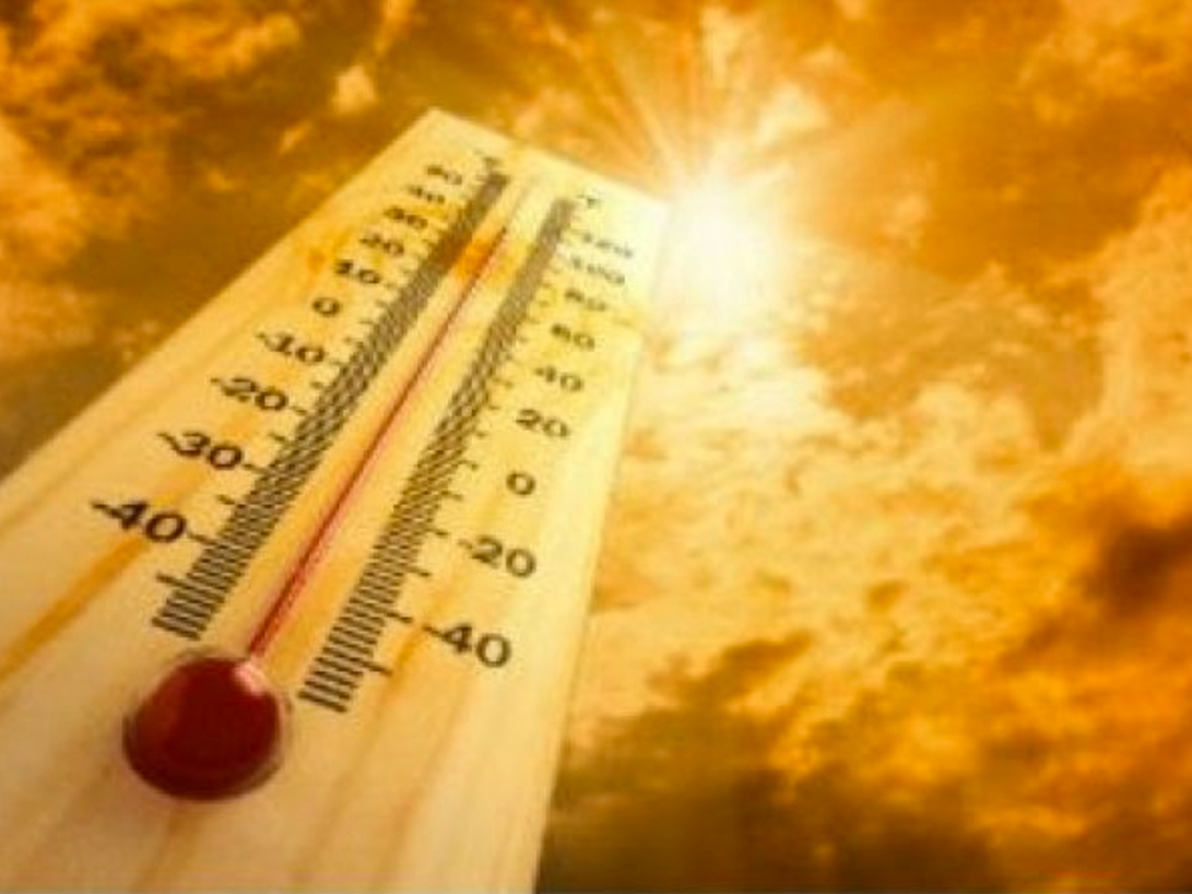
LOS ANGELES, CA — The summer's second heat wave will develop Monday and it has the potential to feel a lot hotter than last week's mini-heat wave.
The heat will be accompanied by monsoonal moisture, which could generate thunderstorms, forecasters said. The humidity will combine with the heat for a muggy feel. The hottest day of the week, Wednesday is expected to haves highs of 86 degrees downtown, 101 degrees in Woodland Hills, 99 in Northridge, 98 in Pasadena and 81 in Pacific Palisades.
The National Weather Service said the heat wave would persist through next weekend and warned that this week's weather brings the potential of heat- related illnesses, especially for the homeless, the elderly, infants, and anyone participating in outdoor activities.
Find out what's happening in Westwood-Century Citywith free, real-time updates from Patch.
The heat wave results from high pressure over the nation's Four Corners region, said NWS meteorologist Curt Kaplan. It has no meteorological connection to the hot weather on the East Coast.
Monday's temperatures will be a few degrees higher than Sunday's but may feel much warmer because of the humidity, forecasters said.
Find out what's happening in Westwood-Century Citywith free, real-time updates from Patch.
Over the next few days, air circulating clockwise will pick up moisture from Mexico, including Baja California, Kaplan said. There's no expectation of flash flooding, he said, but there could be an elevated danger of fire amid the dryness at lower elevations if thunderstorms develop and generate lightning, including dry lightning.
There is a slight chance of afternoon thunderstorms over the mountains through Wednesday, according to an NWS statement. Marine layer clouds will continue over the coast Monday morning but will diminish Tuesday and Wednesday.
The NWS forecast partly cloudy skies in L.A. County Monday and highs of 74 in Avalon; 75 at LAX; 82 on Mount Wilson; 83 in Long Beach; 85 in Downtown L.A.; 89 in San Gabriel; 91 in Burbank; 92 in Pasadena; 97 in Saugus; 99 in Woodland Hills; 101 in Palmdale; and 102 in Lancaster. Many communities will be a couple degrees warmer than Sunday, but Antelope Valley temperatures will be about the same. Tuesday will bring slightly higher temperatures -- generally between 2 and 4 degrees higher -- and Wednesday's temperatures will be between 1 and 4 degrees higher than Tuesday before temperatures retreat slightly on Thursday, although Woodland Hills will reach 98 -- 1 degree less than Monday. Temperatures will remain at Thursday's levels -- above normal -- at least through Sunday.
Partly cloudy skies were also forecast in Orange County, but no excessively hot temperatures were expected: 72 in San Clemente; 73 in Newport Beach and Laguna Beach; 81 in Santiago Peak; 85 on Ortega Highway at 2,600 feet; 86 in Irvine and Fullerton; 87 in Mission Viejo; 88 in Yorba Linda; and 89 in Fremont Canyon and Trabuco Canyon. Tuesday's highs will be 3-4 degrees higher in several communities and remain roughly at that level through Sunday.
NWS forecasters said that, to cope with the weather, area residents should drink plenty of warwe, wear light-colored, lightweight clothing, stay out of the midday sun, exercise only early or late in the day, never leave a person or pet in a parked car, check on elderly friends and neighbors, provide shade and water for livestock and pets.
City News Service and Patch Staffer Paige Austin contributed to this report.
Get more local news delivered straight to your inbox. Sign up for free Patch newsletters and alerts.
