Weather
Connecticut Weather: More Snow Friday, Super Bowl Sunday
There's more snow on the way for Friday and it looks like we could see snow on Super Bowl Sunday too. Winter is definitely not over....

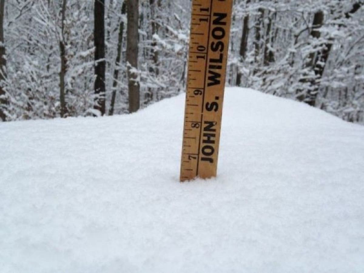
The Friday morning commute to work and school may end up looking a lot like Tuesday mornings commute. It appears as of now, that a mix of rain and snow will end as all snow early Friday morning and up to a few inches of snow is possible in Connecticut before it ends by late morning.
As we've already seen this week, forecasts change quickly, but it looks like Friday morning may be messy. As of right now, the National Weather Service is predicting a couple of inches of snow for most of Connecticut, while local meteorologists say the exact accumulation will be determined by how soon the rain changes to all snow early Friday.
And if you have plans on Super Bowl Sunday that involve traveling, there may be snow to deal with on Sunday too. Snow could begin in the afternoon and is likely at night. No estimates have been given on how much snow could fall on Sunday/Sunday night.
Find out what's happening in Ridgefieldwith free, real-time updates from Patch.
We're going to be close to the rain/snow line later Sunday and Monday. Not a great setup for snow but we could thread the needle if lucky. GFS shows a couple inches... Euro shows all rain. pic.twitter.com/pxjY5n96y8
— Ryan Hanrahan (@ryanhanrahan) January 31, 2018
The National Weather Service says there is a "potential for a few inches of snow" by the end of Friday morning.
Fox 61 Meteorologist Rachel Frank said snow "could cause issues for the Friday morning commute. Early thoughts: coating up to several inches possible. (I know what you're thinking...I've heard that before!) Accumulation will hinge on when that changeover occurs. Blustery, colder, clearing by PM."
Find out what's happening in Ridgefieldwith free, real-time updates from Patch.
WTNH News 8 Meteorologist Gil Simmons said, "Some early icy spots out there. Sun to clouds today with a chilly wind. Highs around 30! Wind chill lower! Watching a mix/rain later Thursday ending as SNOW for a slick Friday AM commute. Watching this closely!!!"
See also: Popular Brewery Plans Big, New Development At Casino
Here is the updated weather forecast for southern Connecticut:
Today: Increasing clouds, with a high near 32. Wind chill values between 10 and 20. Northwest wind 7 to 9 mph becoming south in the afternoon.
Tonight: Mostly cloudy, with a low around 28. Wind chill values between 20 and 25. Southwest wind 6 to 10 mph, with gusts as high as 20 mph.
Thursday: A slight chance of snow before 9am, then a chance of rain. Cloudy, with a high near 41. Wind chill values between 25 and 35. Southwest wind 6 to 9 mph. Chance of precipitation is 40%.
Thursday Night: Rain likely before 1am, then rain and snow likely between 1am and 4am, then snow likely after 4am. Cloudy, with a low around 28. Southwest wind 3 to 7 mph. Chance of precipitation is 70%. New snow accumulation of 1 to 2 inches possible.
Friday: A 20 percent chance of snow before noon. Cloudy, then gradually becoming mostly sunny, with a high near 32. Northwest wind 11 to 17 mph, with gusts as high as 29 mph.
Friday Night: Mostly clear, with a low around 14.
Saturday: Sunny, with a high near 29.
Saturday Night: Mostly cloudy, with a low around 25.
Sunday: A chance of snow showers before 1pm, then a chance of rain showers. Cloudy, with a high near 38. Chance of precipitation is 50%.
Sunday Night: Snow likely. Mostly cloudy, with a low around 24. Chance of precipitation is 60%.
Here is the updated weather forecast for northern Connecticut:
Today: Sunny, then becoming mostly cloudy during the afternoon, with a high near 34. Light and variable wind becoming south 5 to 7 mph in the afternoon.
Tonight: Cloudy, with a low around 26. Southwest wind 6 to 8 mph.
Thursday: A chance of showers, mainly after 5pm. Cloudy, with a high near 42. South wind 6 to 8 mph. Chance of precipitation is 30%.
Thursday Night: Rain showers likely before 10pm, then rain and snow showers likely between 10pm and 2am, then snow likely after 2am. Cloudy, with a low around 26. South wind around 6 mph becoming calm. Chance of precipitation is 60%. New snow accumulation of less than one inch possible.
Friday: A chance of snow, mainly before 7am. Partly sunny, with a high near 31. Northwest wind 9 to 14 mph. Chance of precipitation is 30%.
Friday Night: Mostly clear, with a low around 10.
Saturday: Mostly sunny, with a high near 28.
Saturday Night: A chance of snow showers between 11pm and 5am. Mostly cloudy, with a low around 23. Chance of precipitation is 30%.
Sunday: A chance of snow showers after 9am. Cloudy, with a high near 38. Chance of precipitation is 50%.
Sunday Night: Snow likely, mainly after 7pm. Mostly cloudy, with a low around 21. Chance of precipitation is 60%.
Get more local news delivered straight to your inbox. Sign up for free Patch newsletters and alerts.