Weather
Tropical Storm Nate Expected To Impact Tampa Bay Weather
Tropical Storm Nate may not pay Tampa Bay a direct visit, but the storm is expected to influence conditions over the weekend.

TAMPA, FL — The Tampa Bay area will likely dodge the bullet that is Tropical Storm Nate, but that doesn’t mean the storm’s effects won’t be felt. The system, expected to make landfall in the northern Gulf of Mexico on Sunday, poses several risks for the region over the weekend.
According to the National Weather Service, Friday is expected to kick off with mostly cloudy skies and increasing thunderstorm chances in the afternoon hours. The day’s high is expected to reach the upper 80s. Rain chances should linger heading into the overnight hours when the low is forecast to drop into the upper 70s. (For more local news from Florida, click here to sign up for real-time news alerts and newsletters from Tampa Patch, and click here to find your local Florida Patch. If you have an iPhone, click here to get the free Patch iPhone app.)
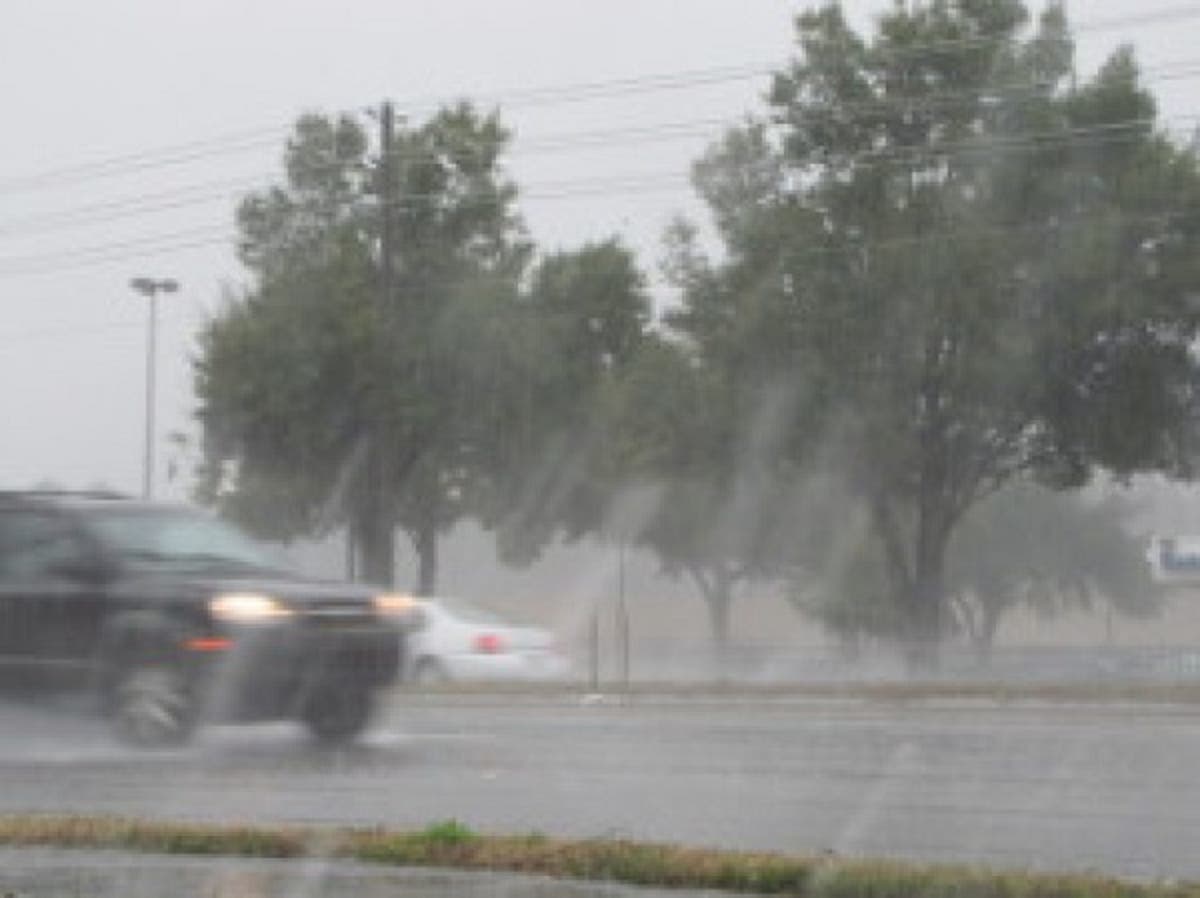
Friday's pre-Nate rains are increasing flooding concerns along rivers in the Tampa Bay area. A small craft advisory for local waters also remains in place as gusty winds continue in coastal areas.
Find out what's happening in Tampawith free, real-time updates from Patch.
Forecasters say Nate’s potential impacts on the Tampa Bay area should begin to be felt on Saturday. The day is expected to kick off with mostly cloudy skies and rain chances that gradually increase from 30 to 60 percent. Despite overcast conditions, forecasters anticipate a high in the upper 80s.
A 60 percent chance of showers is expected in the overnight hours Saturday. The weather service is also warning that “large swells and southerly winds generated by Nate will result in above normal tide levels late Saturday and Sunday.” Forecasters expect tides of 2 to 3 feet above normal in areas north of Tampa Bay with tides about 1 to 2 feet above normal likely south of Tampa Bay.
Find out what's happening in Tampawith free, real-time updates from Patch.
“Conditions will be favorable for coastal flooding especially in northern locations,” the weather service warned in Friday’s Hazardous Weather Outlook report. “Coastal residents should be alert for later statements or warnings and take action to protect property.”
River flooding, especially along the Withlacoochee, is also expected. Forecasters say hazardous boating conditions for small craft operators are also likely to last throughout the weekend.
Sunday is expected to bring mostly cloudy conditions with showers and thunderstorms likely across the region. Despite the cloud cover, forecasters expect a high in the upper 80s. Rain chances linger into the overnight hours when the low should drop into the upper 70s.
Monday's start to the workweek isn't expected to bring a break from the rain. Forecasters, however, say things should dry out a little as the workweek continues.
For an extended forecast in your neighborhood, visit your local Patch’s homepage.
Patch file photo by Sherri Lonon
Get more local news delivered straight to your inbox. Sign up for free Patch newsletters and alerts.


