Home & Garden
The Adverse Environmental Impact of Sidewalks
Added Stormwater Runoff Would Threaten the Watershed

Montgomery County Government has proposed laying about a two mile ribbon of wide concrete sidewalks throughout the first section of Windermere. When the originally requested section of sidewalk for just Marcliff Road is taken into account, the county’s sidewalk proposal is about three miles in length of five foot wide sidewalks. That is 79,200 square feet of concrete, or just under two acres of hard surface.
Windermere’s governing body, its board of directors for the Heritage Walk Homeowner’s Association, and the community’s residents were never asked to consider alternatives. In fact, the community never had an inhouse discussion on the topic of sidewalks or alternatives. Instead, the county’s Department of Transportation mailed the community’s residents a formal letter, maps indicating the locations of their proposed sidewalk project, and under seperate cover an arborist report that indicated the number and types of trees that would need to be cut down prior to construction.
Most of Windermere’s residents were horrified.
Find out what's happening in Rockvillewith free, real-time updates from Patch.
“There are permeable surfaces and pavers available as alternatives to a concrete sidewalk,” according to Steve Walz, the Director of Environmental Programs with the Metropolitan Washington Council of Governments. “They take more work, and require a deeper base for water to percolate into the soil when engineered properly.”
Windermere's adjacent community The Oaks was planned with permeable pavers for walkways. They were installed during the development of the community. Not only are they attractive, they are porous and do not contribute harm to the environment.
Find out what's happening in Rockvillewith free, real-time updates from Patch.
The average annual rain water that falls in Montgomery County is 43 inches per year. The method used to determine the measurement is the simple use of a bucket, and the measurement of the accumulation of rain water over a one year period. The average is calculated over the period between 1970 and 2001.
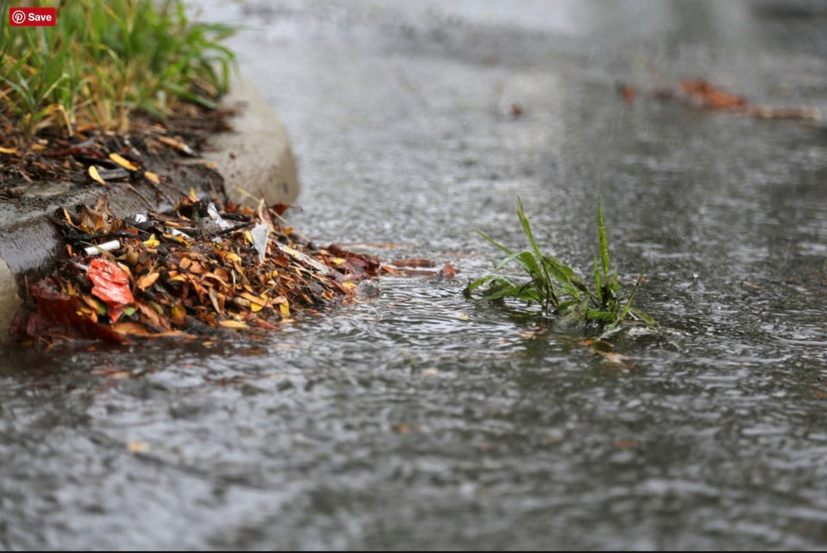
When we factor the floor of a bucket at one square foot into the average annual rain fall of 43 inches with 79,200 square feet of added hard surface that will block the absorption of water into the ground, we end up with approximately 1.5 million gallons of additional stormwater volume runoff into the delicate watersheds.
Runoff is rain water that is not absorbed into the ground, but instead flows into the curb, drainage ditches, sewers, and then into the water ways. Along with that run off is sediment, sand, trash, and debris. All of that ends up in the tributary of Old Farm Creek that runs through the common area that divides Windermere I and II. That creek then feeds into Cabin John Creek, which then feeds into the Potomac River at Glen Echo. Once over Great Falls, it all flows down stream into the Chesapeake Bay.
“Because of their small size, the particles of sand, silt and clay that we call “sediment” often float through the water rather than settling to the bottom, and can be carried long distances during rainstorms,” according to the website Chesapeake Bay Program, which is staffed by employees from federal and state agencies, non-profit organizations and academic institutions. “When there are too many sediment particles suspended in the water, the water becomes cloudy and muddy-looking. Cloudy water does not allow sunlight to reach the plants that grow on the bottom of the Bay’s shallows. Without sunlight, these plants—including underwater grasses—die, which affects the young fish and shellfish that depend on them for shelter.”
Most people never give something like this a second thought. But, that stormwater runoff results in an adverse impact on the shellfish, which are the filtration system of the waterways and the Chesapeake Bay, the largest estuary in the United States and the third largest on the planet. Named by the Algonquin Indians, the name Chesapeake means "great shellfish bay." The bay supports 348 species of fish and 173 species of shellfish.
Over time silt and sediment build up requires dredging, and with dredging comes destruction of the oyster beds and more. Fewer oysters means dirtier water with clouded waters contaminated with silt, sand, and clay. The clouded waters from all of the planet’s major metropolitan areas are easily viewed by plane when traveling. When seen from the air, an appreciation of the adverse impact from construction, more hard surfaces, and stormwater runoff becomes quite evident.
This is the fifth article in a series on Windermere and community planning in North Bethesda.


