Weather
La Niña Winter Could Mean A Snowier MA Winter: Forecast
The Farmers' Almanac is out with early predictions for the upcoming winter. The La Niña pattern is a change compared to recent winters.

MASSACHUSETTS — A La Niña climate pattern is expected to bring more precipitation to Massachusetts this coming winter, according to an early extended forecast.
Overall, The Farmers’ Almanac winter 2025 forecast calls for “a season of rapid-fire storms that will bring both rain and snow, with little downtime in between.”
La Niña, a term that describes the periodic cooling of surface temperatures in the central and eastern equatorial Pacific, is expected to develop and continue to bring wet, cold weather to most of the country throughout winter, which begins with the winter solstice on Dec. 21. Meteorological winter begins Dec. 1.
Find out what's happening in Across Massachusettswith free, real-time updates from Patch.
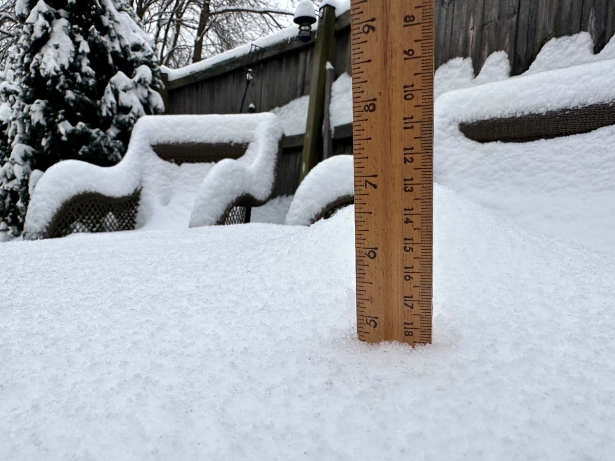
For Massachusetts, the weather pattern could mean more snow compared to relatively light recent winters.
"Winter in New England and the Northeast will be stormy, with above-normal amounts of winter precipitation and near-to above-normal temperatures. Snow will be most prevalent over the interior and mountainous terrains, while sleet and rain will be more common near the coast, especially near and along the I-95 corridor," the almanac said.
Find out what's happening in Across Massachusettswith free, real-time updates from Patch.
The outlook comes with a “red flag” advisory for Jan. 20-27, when forecasters expect an active storm track to deliver frequent bouts of heavy precipitation, as well as strong and gusty winds. That could mean heavy snow, rain, sleet or ice across much of the country, the forecast said.
Also, a snowstorm at the beginning of February could bring at least 6 inches of snow to Texas and double that amount in the Bitterroot Mountain range of Idaho, the forecast said.
Wet conditions are expected to prevail across the eastern third of the country, especially in the Great Lakes, Ohio Valley, Midwest and Pacific Northwest regions. The Southwest and South Central states are on track for a winter with average to below-average precipitation, according to the forecast.
The Northern Plains and Great Lakes regions are expected to experience the coldest temperatures of winter, and areas east of the Rockies and the Appalachians could see periods of cold weather, the forecast said. A blast of frigid Arctic air is expected to plunge temperatures nationwide the final week of January and early February, especially across the Northern Plains. The Great Lakes area could see heavy snow showers and snow squalls, the forecast said.
Winter is expected to be on the warm side with above-average temperatures in Texas, the Southern Plains and across the Southeast and Atlantic Coast. The forecast also calls for average winter temperatures in the Southwest and an unseasonably chilly winter in the Pacific Northwest.
Get more local news delivered straight to your inbox. Sign up for free Patch newsletters and alerts.