Weather
Dangerous Wind Chills In Birmingham Tuesday Morning: NWS
The coldest of air of the season will pass through Birmingham on Tuesday morning with wind chills 5 to 15 degrees below zero.

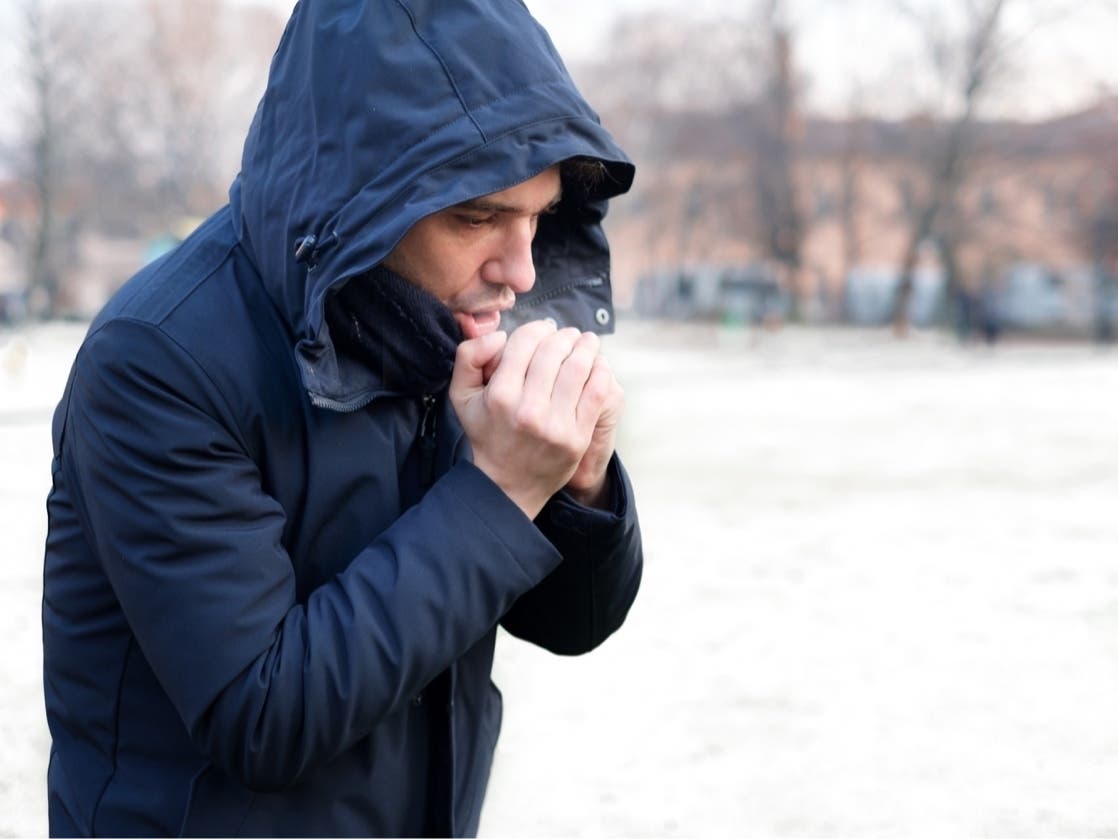
BIRMINGHAM, MI — The coldest air of the season is expected to pass though Birmingham on Tuesday morning with lows near zero and wind chills averaging 5 to 15 degrees below zero, the National Weather Service said.
Monday started cold with temperatures in the teens and will reach the 20s by the afternoon. There's a slight chance for snow showers before 7:00 p.m. with no accumulation expected, but could produce a few slick spots on the roads, the National Weather Service said.
Winds will gradually pick up throughout the day, with wind gusts reaching 25 miles per hour by Monday night heading into Tuesday morning, the National Weather Service said.
Find out what's happening in Birminghamwith free, real-time updates from Patch.
The winds will produce dangerous wind chills Tuesday morning with readings consistently 5 to 15 degrees below zero. Once the Arctic air pass through, Tuesday will see highs reaching the mid to upper 20s under sunny skies, the National Weather Service said.
The rest of the work week will remain cloudy, but dry with warming temperatures. Wednesday will see highs reach the upper 30s, but still windy as wind gusts could reach 25 miles per hour, the National Weather Service said.
Find out what's happening in Birminghamwith free, real-time updates from Patch.
Thursday and Friday will also see highs in the upper 30s, but a chance of snow returns Friday night and into the weekend, the National Weather Service said.
Get more local news delivered straight to your inbox. Sign up for free Patch newsletters and alerts.