Home & Garden
Finally More Like Spring: New Rochelle Weekend Weather
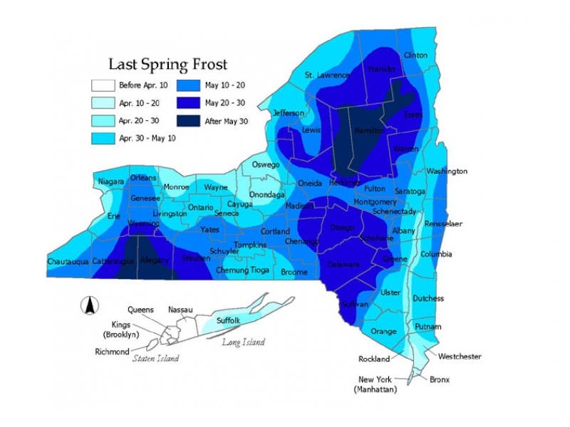
Got the itch to garden? It's still not safe for plants like tomatoes or impatiens, but there is plenty that you can plant.

The weekend is shaping up to feel classically spring.
Higher than average temperatures (Thursday was 10-15 degrees above average) will back off a little this weekend, bringing in highs in the 60s instead.
The meteor shower called the Lyrids peaks Friday, but unfortunately, rain and patchy fog will obscure our view. Still, skies should clear on Saturday, and by Saturday night maybe it will be possible to still see some of the meteors darting through the skies above the Hudson Valley. Sunday will be sunny and mild.
Find out what's happening in New Rochellewith free, real-time updates from Patch.
If you are a gardener, this weekend will be great weather for you.
According to Annie Christian-Reuter, community horticulture educator at the Cornell Cooperative Extension of Rockland County, this would be a good weekend to put out cool-weather plants if you haven't already: lettuces, peas, leeks, radishes. Plant carrots!
Find out what's happening in New Rochellewith free, real-time updates from Patch.
It's still too early for tender plants—such as tomatoes or eggplants or flowers like impatiens—Mother's Day is the rule of thumb.
You can find lots of great gardening resources on the CCE website.
Across America, Earth Day weekend will be accompanied by extreme weather in the central United States.
"The flooding experienced over parts of Texas early this week may be a sign of things to come over a larger area of the nation. The weather pattern is going to get wild and crazy during the last part of April and into May," according to AccuWeather Senior Meteorologist Henry Margusity.
Here's what the National Weather Service is predicting for Westchester County:
- Today: A chance of showers before noon, then a chance of showers and thunderstorms between noon and 4pm, then showers likely and possibly a thunderstorm after 4pm. Mostly cloudy, with a high in the mid-70s. Southwest wind 6 to 8 mph. Chance of precipitation is 60%. New rainfall amounts of less than a tenth of an inch, except higher amounts possible in thunderstorms.
- Tonight: Showers and possibly a thunderstorm before 10pm, then showers likely. Patchy fog after midnight. Low in the mid-50s. Southwest wind around 6 mph becoming northwest in the evening. Chance of precipitation is 80%. New precipitation amounts of less than a tenth of an inch, except higher amounts possible in thunderstorms.
- Saturday: Mostly cloudy, then gradually becoming sunny, with a high in the mid- to upper-60s. North wind 11 to 15 mph.
- Saturday Night: Mostly clear, with a low in the low-40s. North wind 9 to 11 mph.
- Sunday: Sunny, with a high near 60. North wind 6 to 9 mph becoming west in the afternoon.
- Sunday Night: Partly cloudy, with a low around 45.
Get more local news delivered straight to your inbox. Sign up for free Patch newsletters and alerts.