Home & Garden
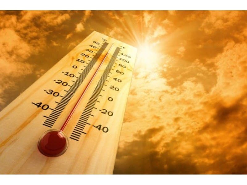
Extreme Heat Tuesday in Oyster Bay; Hazardous Weather Outlook Issued
Flash flooding possible later this week following unseasonably warm conditions.

By Ryan Bonner
Long Islanders flocked to the beach to savor the last unofficial days of summer over the Labor Day weekend, but the beach sounds like a pretty good idea Tuesday as temperatures on Long Island will near 90 degrees.
The mercury will approach record levels in New York City on Tuesday with a high around 92, according to the National Weather Service. It should be a few degrees “cooler” on Long Island.
Find out what's happening in Oyster Baywith free, real-time updates from Patch.
Wednesday will be warm and humid once again, with highs in the mid-80s.
The NWS has already issued a hazardous weather outlook for the region for a disturbance ahead of a cold front that will approach the region Wednesday night.
Find out what's happening in Oyster Baywith free, real-time updates from Patch.
“Showers and thunderstorms late Wednesday night through Thursday evening will be capable of producing heavy rain,” the outlook says. “There is a chance for flash flooding during this timeframe.”
Get more local news delivered straight to your inbox. Sign up for free Patch newsletters and alerts.