Weather
First Major Snow Of 2024 Expected In NoVA, DC: Early Forecast
Early forecasts show a winter storm bringing the potential for snow or a wintry mix in the region over the weekend.

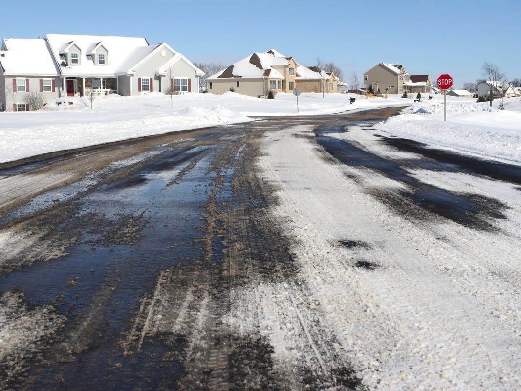
VIRGINIA — Weather forecasters are monitoring the possibility of a winter storm this upcoming weekend, which would mark the first major snow of 2024 in Northern Virginia and DC.
Much of the northeastern U.S. could see the first major snowstorm of the year. AccuWeather expects the storm to reach the central and southern Appalachians and parts of mid-Atlantic and southern New England late Saturday. Areas like the Interstates 64, 68, 70, 76, 79, 80 and 81 corridors of the U.S. should expect wet, slushy and snow-covered road conditions.
The impact on the I-95 corridor in the greater DC region "will depend on the track and strength of the storm," according to AccuWeather.
Find out what's happening in Viennawith free, real-time updates from Patch.
"There is a chance that accumulating snow can fall all the way to the Atlantic coast from this storm in the Northeast, depending on if cold air holds its ground to the north and the storm takes a track slightly more to the southeast, rather than right along the coast," said Brandon Buckingham, a meteorologist for AccuWeather.
It's been 714 days since Washington, DC received 1 inch of snow as of Dec. 31, according to AccuWeather, as the last measurable snowfall was on Jan. 16, 2022.
Find out what's happening in Viennawith free, real-time updates from Patch.
The Washington Post's Capital Weather Gang expects a winter storm to move into the DC region, although the exact locations and effects are still uncertain. Forecasters expect precipitation to start Saturday afternoon and linger into Sunday morning. Snow is more likely near the mountains, while the Interstate 95 corridor could see a wintry mix of snow, sleet and rain.
"As details come into focus later in the workweek, we should start to get a better handle of who could see accumulating snowfall and how much," the Capital Weather Gang reports. "The precipitation will probably be heavy at times — and the equivalent of about 1 to 2 inches of rain."
Here is the National Weather Service forecast for DC in the days ahead.
Tuesday: Mostly cloudy, then gradually becoming sunny, with a high near 44. Northwest wind 9 to 11 mph, with gusts as high as 22 mph. At night, mostly clear, with a low around 30.
Wednesday: Increasing clouds, with a high near 48. A slight chance of rain after 2 a.m. and mostly cloudy at night with a low around 35. Light and variable wind. Chance of precipitation is 20 percent.
Thursday: A slight chance of rain before 8 a.m. Partly sunny, with a high near 45. Northwest wind 5 to 15 mph, with gusts as high as 22 mph. Chance of precipitation is 20 percent. At night, mostly clear, with a low around 26.
Friday: Mostly sunny, with a high near 41. At night, mostly cloudy, with a low around 28.
Saturday: Rain and snow, mainly after 2 p.m. High near 42. Chance of precipitation is 80 percent. At night, rain and snow, becoming all rain after 8 p.m. Low around 33. Chance of precipitation is 90 percent.
Sunday: Rain and snow likely. Partly sunny, with a high near 42. Chance of precipitation is 60 percent. At night, partly cloudy, with a low around 29.
Get more local news delivered straight to your inbox. Sign up for free Patch newsletters and alerts.