Weather
Nor'Easter Should Veer North Of VA, Rain Likely: VA Weather
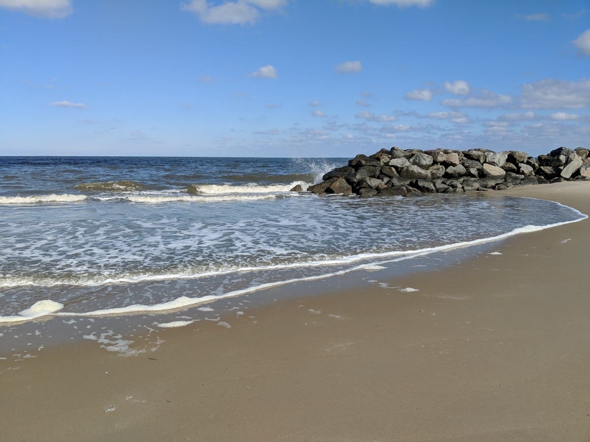
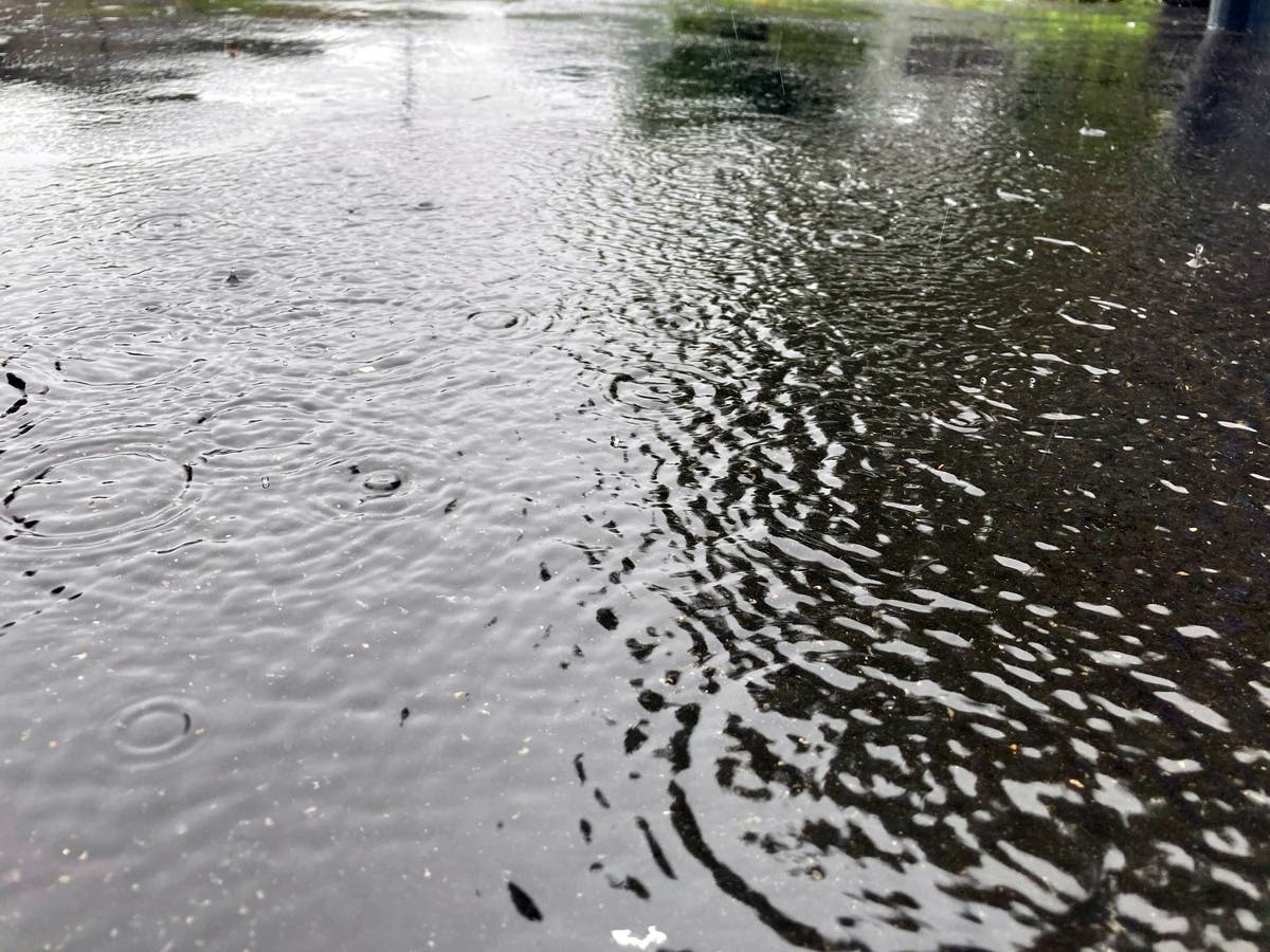
As a nor'easter brings snow to much of the Northeast, Northern Virginia will be drenched with rain, the National Weather Service said.

VIRGINIA — As a nor'easter aims for much of the Northeast, Northern Virginia will likely evade another round of snow, forecasters said.
A quick transition from warm temperatures will bring snow in the upper Mid-Atlantic, southern New England, central Appalachians and several other areas Monday night into Tuesday, according to AccuWeather. The nor'easter has already dropped several inches of snow in Colorado, New Mexico, Texas and Oklahoma this weekend before arriving in the northeastern U.S.
The highest snowfall totals — 6 to 12 inches — could fall in the higher elevations of northern Pennsylvania and southeastern New York to much of Massachusetts. Other parts of the storm area from northern Tennessee to New England could get 1 to 3 inches, and parts from West Virginia to New England could see 3 to 6 inches.
Find out what's happening in Viennawith free, real-time updates from Patch.
That's not the case for Northern Virginia and the DC region. If anything, DC could see little to no accumulation of snow as the heavy snow stays to the north and west. But AccuWeather says if the storm tracks 50 to 100 miles to the south, DC could see accumulating snow.
In Loudoun County, a winter weather advisory has been issued between 3 a.m. and 1 p.m. Tuesday. In eastern Loudoun, rain changing to snow is forecast with potential accumulation up to 2 inches. In western Loudoun, snow is expected with 1 to localized 3 inches of accumulation.
Find out what's happening in Viennawith free, real-time updates from Patch.
The National Weather Service's Baltimore-Washington office issued a hazardous weather outlook for Northern Virginia and other parts of the region. Forecasters say "a soaking rain may lead to a few isolated instances of minor flooding overnight." Winter weather warnings or advisories have been issued for part of West Virginia's panhandle and western Maryland.
Here is the DC forecast for the coming days:
Monday: Patchy drizzle before 2 p.m., then patchy drizzle with a chance of rain after 2 p.m. Patchy fog. Otherwise, cloudy, with a high near 50. At night, a low around 36 and 11 percent chance of rain. East wind 6 to 15 mph, with gusts as high as 22 mph.
Tuesday: Rain likely, possibly mixed with snow before noon, then a slight chance of rain between noon and 1 p.m. Cloudy, then gradually becoming mostly sunny, with a high near 47. Breezy, with a northwest wind 13 to 20 mph, with gusts as high as 32 mph. Chance of precipitation is 70 percent. Little or no snow accumulation expected. At night, mostly clear, with a low around 33. Northwest wind 8 to 13 mph, with gusts as high as 21 mph.
Wednesday: Mostly sunny, with a high near 44. Northwest wind 9 to 14 mph, with gusts as high as 25 mph. At night, mostly clear, with a low around 29.
Thursday: Partly sunny, with a high near 52. At night, partly cloudy, with a low around 36.
Friday: Mostly sunny, with a high near 47. At night, mostly cloudy, with a low around 33.
Saturday: A chance of rain and snow. Partly sunny, with a high near 47. At night, mostly cloudy, with a low around 29.
Get more local news delivered straight to your inbox. Sign up for free Patch newsletters and alerts.