Weather
100 Heat Index, Severe Thunderstorm Threat Forecast In Northern Virginia
The heat index will surpass 100 degrees before a chance of severe thunderstorms affects the region, the National Weather Service says.

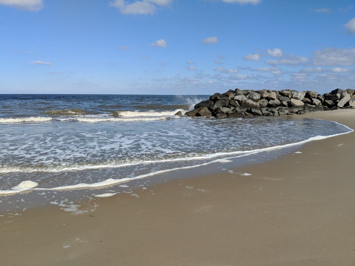
VIRGINIA — Temperatures will peak in the high 90s with a heat index above 100 before a chance of severe storms in Northern Virginia, according to the National Weather Service.
After a brief relief from weekend temperatures in the high 90s, scorching temperatures with humid conditions will return on Wednesday. Real-feel heat indexes will get as high as 100 to 105 degrees.
Several rounds of thunderstorms could occur, with isolated or scattered severe thunderstorms most likely in the afternoon or evening, forecasters say. If severe storms materialize, forecasters say they could produce damaging wind gusts, large hail and isolated tornadoes. Forecaster confidence in significant wind damage is low.
Find out what's happening in Viennawith free, real-time updates from Patch.
A hazardous weather outlook is in effect Wednesday for the District of Columbia, Fairfax County, Arlington County, Falls Church, Alexandria, Stafford County, Spotsylvania County, King George County, northwest, central and southeast Prince William County, Manassas, Manassas Park, Loudoun County, Fauquier County and other areas.
The risk for severe storms is "slight" across the Northern Virginia region, the National Weather Service forecast says.
Find out what's happening in Viennawith free, real-time updates from Patch.
⚠️ An active weather day looms ahead amidst hot temperatures rising into the mid/upper 90s (heat indices of 100-105). A couple rounds of thunderstorms are possible today, some becoming severe this afternoon & evening. Stay tuned at: https://t.co/5RyZgpfrqr #MDwx #VAwx #DCwx #WVwx pic.twitter.com/FCWRXsNd9M
— NWS Baltimore-Washington (@NWS_BaltWash) June 26, 2024
Here is the National Weather Service forecast for the days ahead at Reagan National Airport:
Wednesday: Scattered showers and thunderstorms after 2 p.m. Mostly sunny and hot, with a high near 99. Southwest wind around 9 mph. Chance of precipitation is 30 percent. At night, showers and thunderstorms before 2 a.m., then showers likely and possibly a thunderstorm between 2 a.m. and 5 a.m., then scattered showers and thunderstorms after 5 a.m. Low around 75. The chance of precipitation at night increases to 80 percent.
Thursday: Scattered showers before 8 a.m. Mostly cloudy, then gradually becoming sunny, with a high near 90. The chance of precipitation is 30 percent. At night, mostly clear, with a low around 72.
Friday: Mostly sunny, with a high near 87. A chance of showers and thunderstorms, mainly after 2 a.m. Mostly cloudy, with a low around 75. Chance of precipitation is 40 percent.
Saturday: A chance of showers and thunderstorms. Mostly cloudy, with a high near 91. Chance of precipitation is 50 percent. At night, a chance of showers and thunderstorms before 2 a.m. and mostly cloudy, with a low around 81. Chance of precipitation at night is 40 percent.
Sunday: Showers likely and possibly a thunderstorm, mainly after 2pm. Partly sunny, with a high near 94. At night, showers likely and possibly a thunderstorm before 8 p.m., then a chance of showers and thunderstorms between 8 p.m. and 2 a.m. Partly cloudy, with a low around 70. Chance of precipitation is 60 percent.
Get more local news delivered straight to your inbox. Sign up for free Patch newsletters and alerts.