Weather
Mix Of Snow, Sleet, Rain In NoVA, DC Weather Forecast
Rounds of snow, rain and sleet are headed to DC and northern Virginia Sunday through Tuesday, the National Weather Service says.

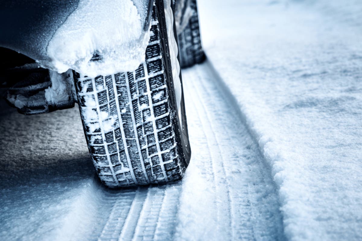
WASHINGTON, DC — We knew springlike highs in the 50s and 60s wouldn't last in February, and forecasters say that northern Virginia is likely in for a messy wintry mix of snow, rain and sleet by Sunday. The National Weather Service has issued a hazardous weather outlook due to its increasing confidence that wintry precipitation will hit the Washington, D.C., region Sunday through Tuesday, including the District of Columbia, Prince William, Manassas, Manassas Park, Fairfax, Arlington, Falls Church, Alexandria, Stafford, Spotsylvania and King George.
A gale warning is in effect on the Chesapeake Bay and Potomac River until 6 p.m. on Friday, Feb. 8, due to winds from 34 to 47 knots.
A small craft advisory is in effect from 6 p.m. Friday to 6 p.m. Saturday, calling for 18 to 33 knots.
Find out what's happening in Viennawith free, real-time updates from Patch.
Temperatures may drop more than 30 degrees from Friday afternoon to Friday evening. The forecast shows daytime temps in the 50s on Friday, with a low in the low 20s overnight.
Saturday's high is in the low 30s, but it may feel like 19 degrees due to wind chills, according to the forecast from the National Weather Service. From Saturday to Sunday, wind chills may be in the teens and even single digits.
Find out what's happening in Viennawith free, real-time updates from Patch.
With Wintry Weather On Way
"Confidence has increased regarding the threat for wintry precipitation Sunday night into Monday, and again Monday into Tuesday," according to a statement issued by the National Weather Service Friday afternoon.
"The best chance for a prolonged period of wintry precipitation will be across northern Maryland and for locations near and west of the Blue Ridge and Catoctin Mountains," according to a hazardous weather outlook. "If the threats materialize, it may cause travel disruptions."
Snow is most likely to arrive in the early hours on Monday, with a wintry mix of snow, sleet and freezing rain continuing until noon on Tuesday, based on the current projections.
Forecast Includes Snow, Sleet, Rain
Here's the forecast from the National Weather Service from Friday, Feb. 8, to Wednesday, Feb. 13 for the DC metro area:
Friday Night: Mostly clear, with a low around 24. Northwest wind around 15 mph, with gusts as high as 30 mph.
Saturday: Sunny, with a high near 36. Northwest wind 9 to 13 mph, with gusts as high as 22 mph.
Saturday Night: Clear, with a low around 23. Northwest wind 5 to 7 mph becoming calm in the evening.
Sunday: Increasing clouds, with a high near 41. Calm wind becoming south 5 to 7 mph in the morning.
Sunday Night: A chance of rain, snow, and sleet before 1am, then rain, freezing rain, and sleet likely. Cloudy, with a low around 32. Calm wind. Chance of precipitation is 70%.
Monday: Rain and snow likely. Cloudy, with a high near 41. Chance of precipitation is 60%.
Monday Night: Rain and snow. Low around 32. Chance of precipitation is 80%.
Tuesday: Rain and snow, becoming all rain after noon. High near 43. Chance of precipitation is 80%.
Tuesday Night: A chance of rain. Mostly cloudy, with a low around 36. Chance of precipitation is 50%.
Wednesday: Mostly sunny, with a high near 49.
(For more news like this, find your local Patch here. If you have an iPhone, click here to get the free Patch iPhone app; download the free Patch Android app here. And like Patch on Facebook!)
Image via Shutterstock
Get more local news delivered straight to your inbox. Sign up for free Patch newsletters and alerts.