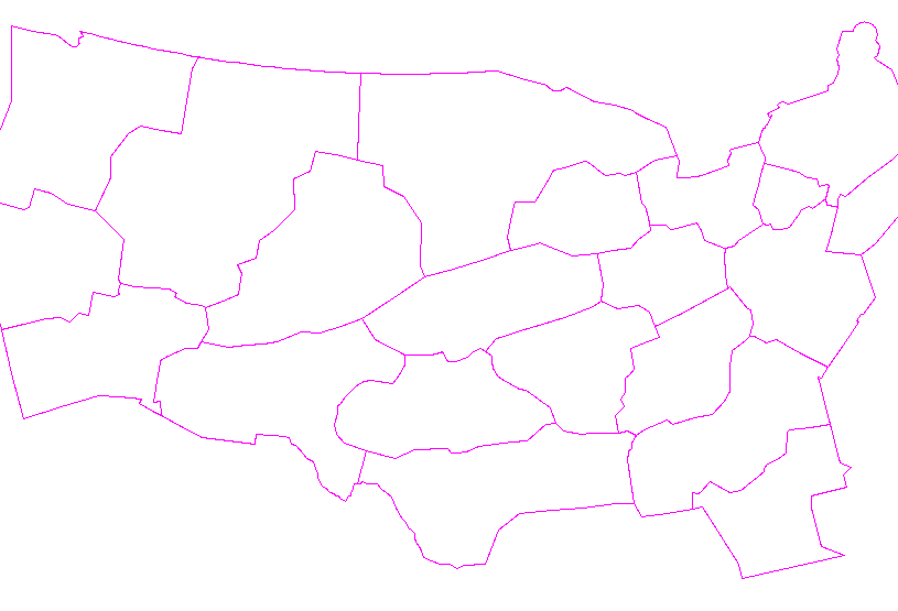
SPC AC 180050
Day 1 Convective Outlook
NWS Storm Prediction Center Norman OK
0750 PM CDT Wed Jul 17 2024
Valid 180100Z - 181200Z
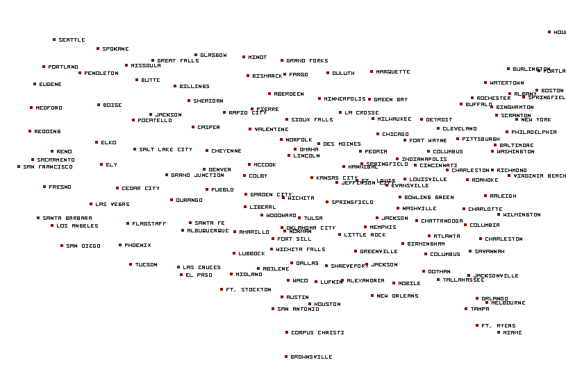
...THERE IS A SLIGHT RISK OF SEVERE THUNDERSTORMS ACROSS THE
MID-ATLANTIC INTO SOUTHERN NEW ENGLAND...
...SUMMARY...
The threat for damaging winds will continue this evening across
portions of the Ohio and Tennessee River Valleys into the
Mid-Atlantic. More isolated strong to severe thunderstorms are
anticipated across parts of the central High Plains.
...Mid-Atlantic into the southern Appalachians/Tennessee Valley...
A line of thunderstorms continue to push east towards the
Mid-Atlantic coast as of 00 UTC. Latest RAP mesoanalysis continues
to show adequate buoyancy and deep-layer shear immediately
downstream for storm maintenance for the next 1-2 hours, but
increasing MLCIN with the onset of nocturnal cooling and
undercutting outflows (noted in some regional radar imagery) will
likely result in a gradual weakening trend through late evening as
storms reach the coast. To the west across the southern Appalachians
and TN Valley, shallow convection continues to percolate along a
cold front as synoptic ascent associated with the primary upper low
to the north glances the region. Although the air mass across TN
into the southern Appalachians has been convectively overturned to
some degree over the past several hours, latest CAM guidance
continues to suggest convection along the front may increase in
coverage and intensity after 01 UTC with an attendant threat for
sporadic damaging winds.
...Central High Plains...
A loosely organized cluster of thunderstorms ongoing across
northeast CO may pose a severe wind and hail threat for the next few
hours, but a gradual weakening trend is expected later tonight due
to a propensity for undercutting outflows and as storms migrate
southward into an air mass that has already been processed by prior
convection. To the south across far southwest KS, a cluster of
thunderstorms may continue to propagate to the south along a
buoyancy axis and pose a wind threat, but poor MLCAPE and weak
hodograph structure observed in the 00 UTC DDC sounding suggest the
potential for a more organized severe threat is limited.
..Moore.. 07/18/2024
CLICK TO GET WUUS01 PTSDY1 PRODUCT
NOTE: THE NEXT DAY 1 OUTLOOK IS SCHEDULED BY 0600Z


 @NWSSPC