Weather
Hazardous Weather Outlook Issued For Windsor Locks Area
Winter returns with bitterly cold temps and wind chills and there is a chance for some wintry precipitation this weekend. Here's the latest.

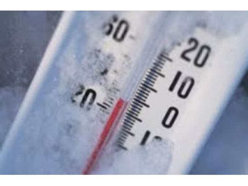
WTNH News 8 Meteorologist Gil Simmons sums up the forecast for Connecticut with just one word, “brutal.” All of a sudden winter strikes back today dropping some snowflakes across the state, and the windchill factor will make it feel like it's 5 to 15 degrees today.
The National Weather Service has issued a Hazardous Weather Outlook for the state Wednesday as a Wind Advisory is in effect. In southern Connecticut gusts could reach 50 mph at times and in Hartford and Tolland counties winds could reach 45 mph, the weather service states.
And we already mentioned the freezing cold conditions the next couple of days. Then all eyes turn to the forecast for Sunday and Monday where we could see a period of icing both days along with some snowflakes at times too.
Find out what's happening in Windsor Locks-East Windsorwith free, real-time updates from Patch.
Spring is definitely not getting off to a warm start for us in Connecticut.
WTNH News 8 Meteorologist Gil Simmons wrote, “a brutally cold day today with strong gusty winds. Dress for temperatures between 5° and 15°. Another cold day tomorrow and then some scattered rain or snow showers possible on Friday. It does look like some OK weather on Saturday!”
Find out what's happening in Windsor Locks-East Windsorwith free, real-time updates from Patch.
NBC Connecticut Meteorologist Ryan Hanrahan said, “Snow squalls moving through the Naugatuck Valley this morning as the Arctic cold front moves in. Turning windy and colder as the front passes.”
In a blog post for NBC Connecticut Hanrahan notes that temps are 20 degrees colder than average for this time of year. He also said as of right now we could be looking at “a nasty and unpleasant mix with some icy travel and chilly temperatures - especially for the time of year” for Sunday and Monday.
See also: Golden Corral Sets Its Grand Opening Date, 1st Location in Connecticut: Report
WWE CEO Vince McMahon Involved in CT Crash: Report
Former CT Meteorologist Sentenced In Child Porn Case
Here’s the updated forecast via the National Weather Service:
Wednesday: Snow showers possible and temps near the freezing mark but feeling much colder with the wind chill factored in. Temps down into the teens tonight.
Thursday: Temps just into the mid 30s and back into the mid 20s at night.
Friday: Temps rise into the mid 40s and a chance of snows and rain showers in the morning before the sun returns.
Saturday: Warmer, temps into the 50s and a chance of rain showers.
Sunday: Periods of rain, sleet and snow all possible during the day and overnight into Monday.
Written by Brian McCready (Patch Staff)
Get more local news delivered straight to your inbox. Sign up for free Patch newsletters and alerts.