Weather
Special Winter Weather Statement Issued For Prince Georges County
The National Weather Service has issued a special weather statement calling for a mix of rain, sleet and snow in Prince George's County.

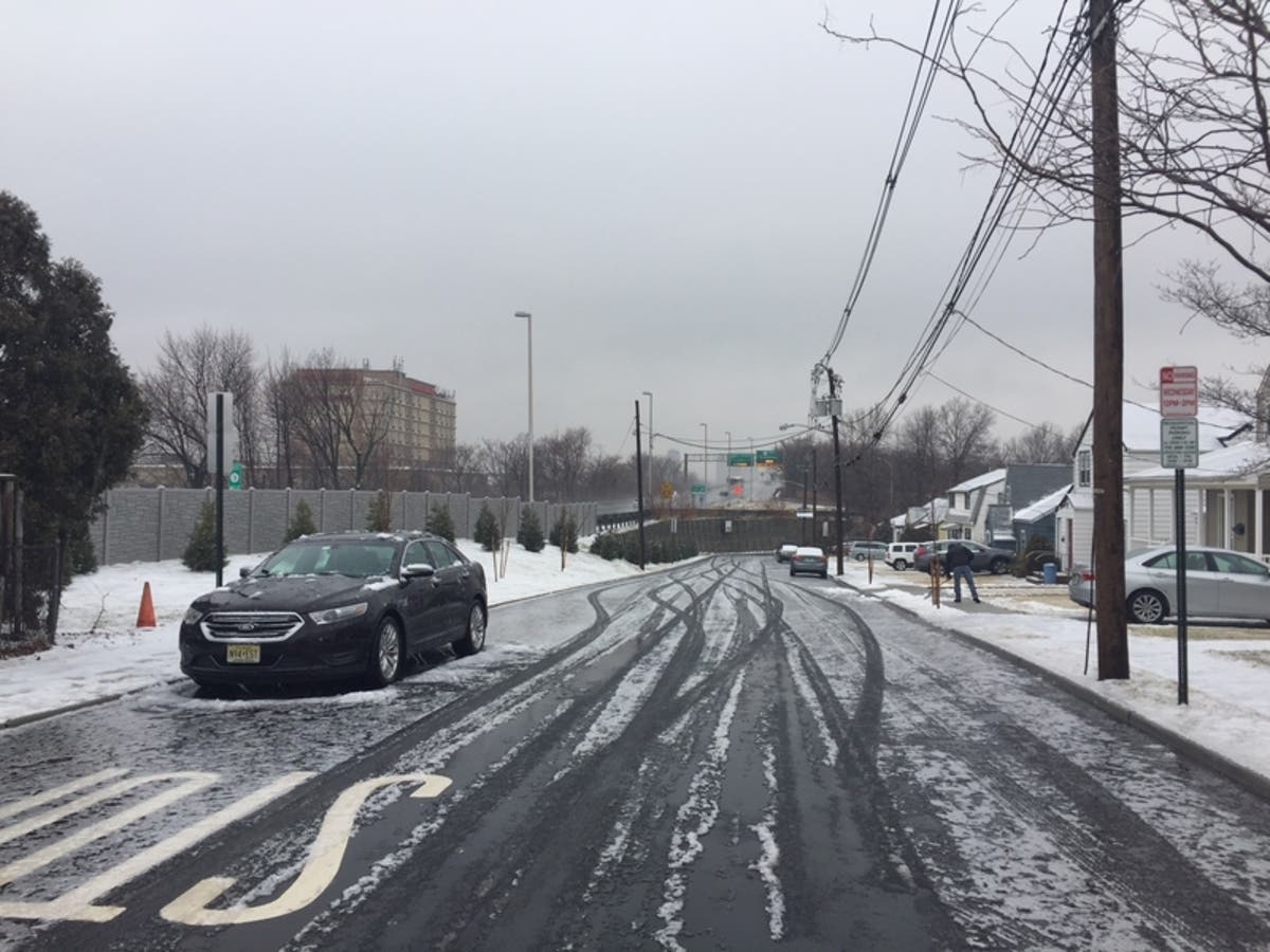
PRINCE GEORGE'S COUNTY, MD — The National Weather Service has issued a special weather statement calling for a mix of rain, sleet and snow in Anne Arundel and Prince George's counties on Sunday, March 3. The wintry mix will develop across the region late Sunday morning, and continue through late evening. Most of the precipitation is expected to be rain, with sleet and snow mixed in at times, the forecast says.
Temperatures are expected to stay in the mid 30s through the day and evening on Sunday, which should greatly reduce problems on roads. However, temperatures will drop below freezing after midnight Sunday, and roads may become icy for the Monday morning commute.
Communities expected to get the wintry mix include: Bowie, Suitland-Silver Hill, Clinton, College Park, Greenbelt, and Laurel.
Find out what's happening in Bowiewith free, real-time updates from Patch.
Meanwhile, weather will be worse to the north, where a winter storm warning has been issued for parts of Baltimore and Harford counties because conditions could make travel impossible or hazardous. The warning is in effect from 2 p.m. on Sunday, March 3, to 4 a.m. on Monday, March 4. It calls for 4 to 6 inches of snow in northern Baltimore and Harford counties.
Drivers traveling to areas west Sunday on Interstate 66 and Interstate 70, and areas north on Interstate 270 and Interstate 83, should be aware that Winter Storm Warnings and Winter Weather Advisories are in effect for these locations immediately north and west of Washington DC. Travel disruptions in these areas are likely.
Find out what's happening in Bowiewith free, real-time updates from Patch.
Here's the latest forecast from the NWS:
Saturday Night: Mostly cloudy, with a low around 34. West wind around 5 mph.
Sunday: Snow likely before 1pm, then snow and sleet between 1pm and 4pm, then rain and sleet after 4pm. High near 36. North wind around 6 mph becoming east in the afternoon. Chance of precipitation is 100%. New snow and sleet accumulation of less than one inch possible.
Sunday Night: Rain before 1am, then snow and sleet likely between 1am and 4am, then a chance of snow after 4am. Low around 30. North wind 6 to 11 mph. Chance of precipitation is 100%. New snow and sleet accumulation of less than a half inch possible.
Monday: A chance of snow before 7am. Partly sunny, with a high near 40. Northwest wind 9 to 13 mph, with gusts as high as 20 mph. Chance of precipitation is 30%.
Monday Night: Partly cloudy, with a low around 22. Northwest wind 3 to 7 mph.
Tuesday: Mostly sunny, with a high near 37.
Tuesday Night: Partly cloudy, with a low around 19.
Wednesday: Sunny, with a high near 31.
Get more local news delivered straight to your inbox. Sign up for free Patch newsletters and alerts.