Weather
First Frost Advisory Forecast For NoVA As Cold Snap Approaches
Colder weather is arriving as the National Weather Service issued its first frost advisory for much of the Northern Virginia region.

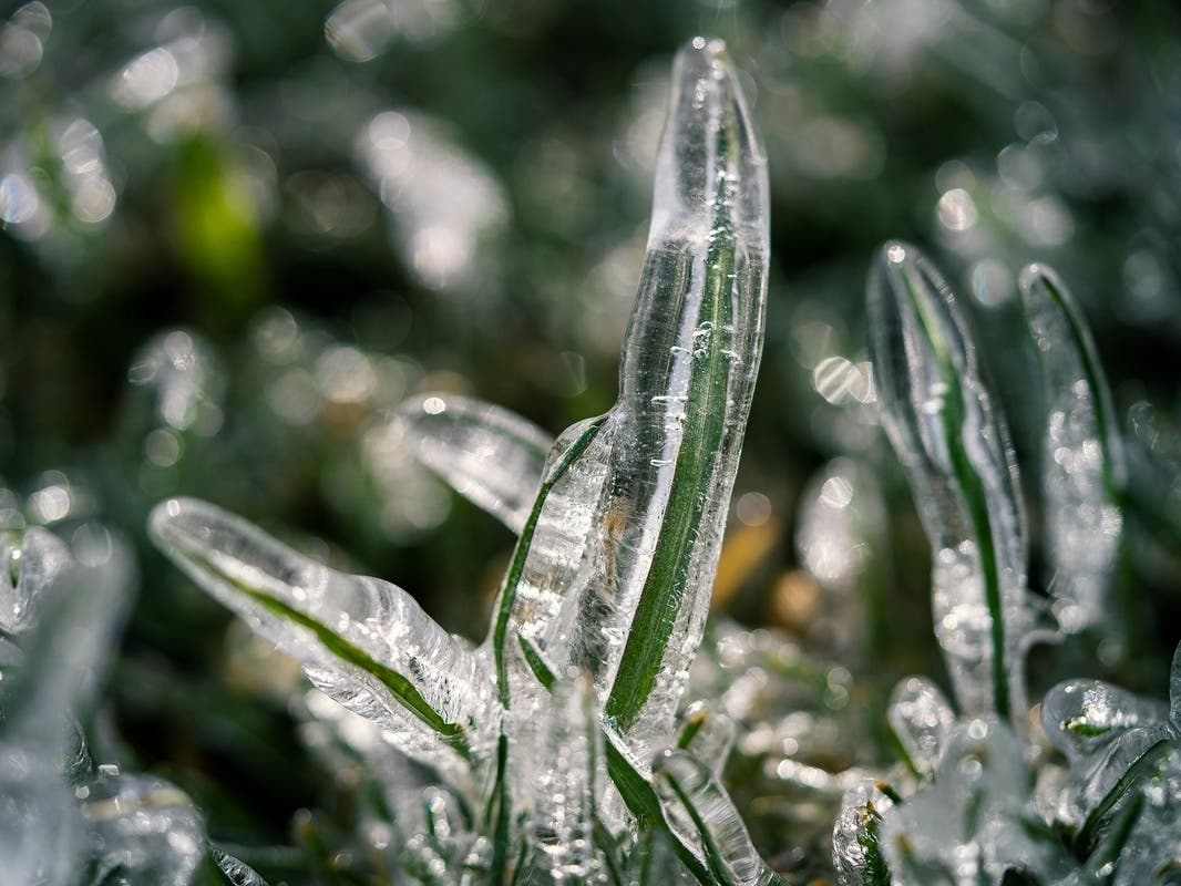
VIRGINIA — Northern Virginia's first frost advisory of the season has been issued by the National Weather Service as colder weather is ushered into the region.
The frost advisory is in effect from 2 a.m. to 10 a.m. Tuesday. According to the National Weather Service, temperatures as low as 33 can produce frost and can hurt tender plants left outside.
Impacted areas around Northern Virginia are Fairfax County, Loudoun County, northwest, central and southeast Prince William County, Manassas, Manassas Park, Fredericksburg, Stafford County, Spotsylvania County, King George County, northern Fauquier County and Clarke County.
Find out what's happening in Viennawith free, real-time updates from Patch.
The only areas not impacted are Alexandria, Falls Church and Arlington County, as well as the neighboring District of Columbia.
A freeze warning is in place for some other Virginia counties, including eastern Fauquier County, from 2 a.m. to 10 a.m. Tuesday. That means crops and other sensitive plants can be killed, and unprotected outdoor plumbing may be damaged.
Find out what's happening in Viennawith free, real-time updates from Patch.
In a light freeze of 29 to 32 degrees Fahrenheit, tender plants are killed. A moderate freeze, which occurs when temperatures dip to 25 to 28 degrees, causes more damage, according to The Old Farmer’s Almanac.
The best way to protect plants from frost is to cover them with a blanket, bedsheet or some type of row cover. Drape them loosely over the plants, and anchor with them with bricks or rocks.
The cold snap follows rain and gusty winds from a nor'easter in the early weekend throughout the Mid-Atlantic and New England regions, according to Accuweather. Meteorologists say the gusty winds after the rain came from northern Canada, which explains the colder temperatures arriving this week.
However, temperatures will turn around to bring more temperate weather. Accuweather expects temperatures to be 5 to 10 degrees above the historical average in the middle and late parts of the week.
Here is the DC forecast for the coming days, according to the National Weather Service:
Monday: Sunny, with a high near 63. Northwest wind 9 to 11 mph, with gusts as high as 20 mph. At night, mostly clear, with a low around 41. North wind around 6 mph becoming calm in the evening.
Tuesday: Sunny, with a high near 69 and mostly clear, with a low around 47.
Wednesday: Mostly sunny, with a high near 74. At night, partly cloudy, with a low around 52.
Thursday: Mostly sunny, with a high near 78. At night, mostly cloudy, with a low around 58.
Friday: Mostly sunny, with a high near 79. At night, partly cloudy, with a low around 60.
Saturday: Sunny, with a high near 81. At night, partly cloudy, with a low around 60.
Get more local news delivered straight to your inbox. Sign up for free Patch newsletters and alerts.