Home & Garden
Storm to Bring Cool Temps and Heavy Rain to Pacific Palisades
A storm expected to move in Friday morning will be bring the risk of flooding in burn scar regions and some brief, intense downpours.
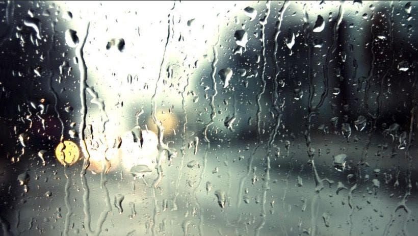
LOS ANGELES, CA -- A storm capable of generating torrents of mud and debris over slopes that wildfires have stripped of vegetation headed for the Southland Thursday, with rainfall expected to start in the Los Angeles area early Friday, National Weather Service forecasters said.
The storm was forecast to unleash between 2 and 4 inches of rainfall along the Central Coast, but it will have weakened by the time it works its way down to Los Angeles County, where the expected total is between a half-inch and an inch, said NWS meteorologist Andrew Rorke.
Light rain could start falling in L.A. County after midnight but the bulk of the rainfall will begin after sunrise, he said.
Find out what's happening in Pacific Palisadeswith free, real-time updates from Patch.
Whether the rain will interfere significantly with the Friday morning commute is uncertain, Rorke said, adding that the heaviest rainfall could occur between the morning and evening commutes.
The storm is entraining subtropical moisture from Hurricane Seymour, and San Luis Obispo and Santa Barbara counties could experience heavy rainfall starting some time this afternoon, forecasters said.
Find out what's happening in Pacific Palisadeswith free, real-time updates from Patch.
"Embedded thunderstorms will also be possible, which could generate heavy downpours capable of triggering mud and debris flows, especially for the recent burn areas that have not received heavy rain yet this season," warned an NWS statement.
"Downpours exceeding one-half inch per hour could lead to the first mud and debris flows of the season near recent burn areas."
A flash flood watch will be in force from late Thursday through Friday morning in recent burn areas of Los Angeles County in the San Gabriel and Santa Monica mountains and the San Fernando, Santa Clarita, San Gabriel and Antelope valleys.
"Remember, never attempt to drive through a flooded roadway," urged an NWS statement. "Turn around. Don't drown."
This week's storms -- one passed through the region Sunday and Monday -- are generating the first of the fall rains in Southern California. Amid moderate temperatures, the snow level will remain at a high 10,000 feet, forecasters said.
The NWS forecast mostly cloudy skies Thursday and highs of 75 at LAX; 77 in Avalon and on Mount Wilson; 80 in Long Beach; 81 in downtown L.A., Palmdale and Lancaster; 82 in San Gabriel; 83 in Pasadena, Burbank and Saugus; and 87 in Woodland Hills.
Friday's temperatures will be sharply lower amid the rain, with highs expected to reach 72 in downtown L.A. and 73 in Woodland Hills, which will be 14 degrees lower than Thursday's expected high. Temperature highs are expected to be in the 70s under cloudy skies over several days after Friday.
Partly cloudy skies are expected in Orange County Thursday, along with highs of 73 in Newport Beach and San Clemente; 75 in Laguna Beach; 80 in Anaheim and Irvine; 81 in Fullerton and Mission Viejo; and 82 in Yorba Linda.
Friday's Orange County highs amid showers will be up to 6 degrees lower than Thursday and remain in the high 60s and low 70s until at least Wednesday, according to an NWS forecast.
Thursday's temperatures will be 4-6 degrees above normal, Rorke said, adding that Friday's will be 2-4 degrees below normal.
City News Service; Photo by Jennifer Cook