Home & Garden
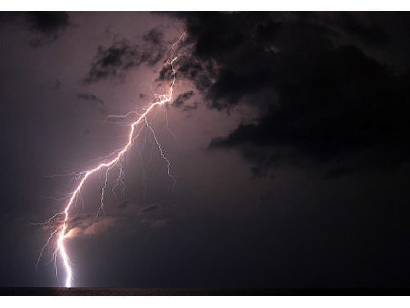
'Hazardous' Outlook: Powerful Thunderstorms To Strike Bucks County Thursday
Heavy rains during the worst of the storm might also bring flash flooding. When will it stop?

There is a ”100 percent” chance of heavy thunderstorms striking the area on Thursday, beginning at about noon, according to the National Weather Service.
Thunderstorms are riding a cold front, and are predicted to become “heavy” and at their strongest at about 2 p.m.
Heavy rain could accompany thunderstorms during the most severe hours, leading to flash flooding throughout the region.
Find out what's happening in Warminsterwith free, real-time updates from Patch.
Temperatures will be comparatively moderate for the heat of summer in the Philadelphia area, not exceeding 84 degrees at 1 p.m. and 5 p.m.
Cooler temperatures are expected throughout much of the storm, dipping into the upper 70’s.
Find out what's happening in Warminsterwith free, real-time updates from Patch.
Either heavy thunderstorms or scattered thunderstorms, along with rain that has at least a 45 percent chance of falling, is predicted from Thursday at noon until 5 a.m. on Friday morning.
A hazardous weather outlook has been issued for the region, warning of the storms and of potential flooding.
Chester and Berks Counties are at the greatest risk for flooding.
Here’s the official forecast from the National Weather Service:
Today: A chance of showers before 11am, then a chance of showers and thunderstorms between 11am and 3pm, then showers likely and possibly a thunderstorm after 3pm. Some of the storms could produce heavy rainfall. Mostly cloudy, with a high near 86. Southeast wind 8 to 10 mph. Chance of precipitation is 60%. New rainfall amounts between a tenth and quarter of an inch, except higher amounts possible in thunderstorms.
Tonight: Showers and thunderstorms likely before 7pm, then showers and possibly a thunderstorm between 7pm and 2am, then showers and thunderstorms likely after 2am. Some of the storms could produce heavy rain. Low around 70. Southeast wind 5 to 7 mph becoming calm after midnight. Chance of precipitation is 80%. New rainfall amounts between three quarters and one inch possible.
Thunderstorms, along with some kind of inclement weather, could continue throughout the region from Friday until next Wednesday.
Get more local news delivered straight to your inbox. Sign up for free Patch newsletters and alerts.